
What is recorded here
Formerly situated within an irregularly shaped graveyard, on a cliff above the River Erne and probably originally beside a ford. According to Davies (1948,80) the church was unroofed in the early 17th century and a new one built on the opposite side of the road in 1821. He noted a few blocks of dressed ashlar in the old graveyard. No visible remains at ground level.
The above description is derived from the published 'Archaeological Inventory of County Cavan' (Dublin: Stationery Office, 1995). In certain instances the entries have been revised and updated in the light of recent research.
Date of upload/revision: 22 December 2008
A local church or high cross; wider significance not recorded.
The monument record does not grant public access. Check the route and ask the landowner before entering private land.
- What survives
- Recorded monument
Places near here
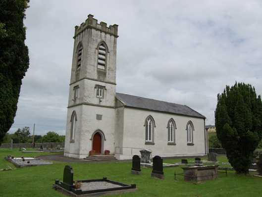 St Patrick’s Church of Ireland Churchchurch/chapel · 67 yd
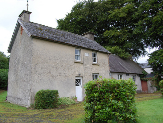 schoolschool · 80 yd
 BroomhillWood · 938 yd
 Caldragh (Site of)Church · 1.2 mi
 Ardvarny ForestForest · 2.1 mi
 Enclosure in Drumcrow (denn Ed)Enclosure · 2.1 mi
 Ardkill MoreMountain / peak · 2.6 mi
 BellvilleMountain / peak · 2.6 mi
 Giant's GraveArchaeological place · 2.8 mi
 Red IslandIslet · 3.3 mi
 Castle CosbyCastle, unclassified · 3.3 mi
 Carricknagore RockNamed rock · 3.4 mi
Other information
Photo: Credit not shown in the picture search · Rights wording not checked; contact us if this picture should be removed