
What is recorded here
In pasture, in the NW corner of a field of flat, damp ground. There is a spring well/holy well (SL008-202002-) immediately to NE. A low, grass-covered roughly D-shaped mound (c. 15m N–S; c. 10m E–W) defined by a curving scarp at NNW–S. The scarp is more pronounced (H 0.6m) at NNW–NE but peters out to a barely…
Read the whole record
From the National Monuments Service (Archaeological Survey of Ireland) record SL008-202001
Places near here
Photo credits
- Maker not stated on source page, tr.pinterest.com
- Maker not stated on source page, uk.pinterest.com
- Maker not stated on source page, archaeology.org
- National Inventory of Architectural Heritage
- Maker not stated on source page, commons.wikimedia.org
- N Chadwick, Wikimedia Commons · CC BY-SA 2.0
- Maker not stated on source page, www.tripadvisor.ca
- Kenneth Allen, Geograph · Creative Commons Attribution-ShareAlike 2.0
- Maker not stated on source page, www.alamy.com
- Maker not stated on source page, www.flickr.com
- Maker not stated on source page, www.pinterest.com
- Kmcnamee, Wikimedia Commons · CC BY-SA 4.0
 Fairy fort / ringfort in DoonierinFairy fort / ringfort · 502 yd
Explorer Tom Ringfort in Doonierin is lost on a hilltop, exactly where those confused Vikings wanted to be. Imagine them asking for…
 Holy well in DoonierinHoly well · 600 yd
Explorer Tom Holy well in Doonierin has a secret talent for hiding under the sand at low tide. It bubbles up like a shy party guest…
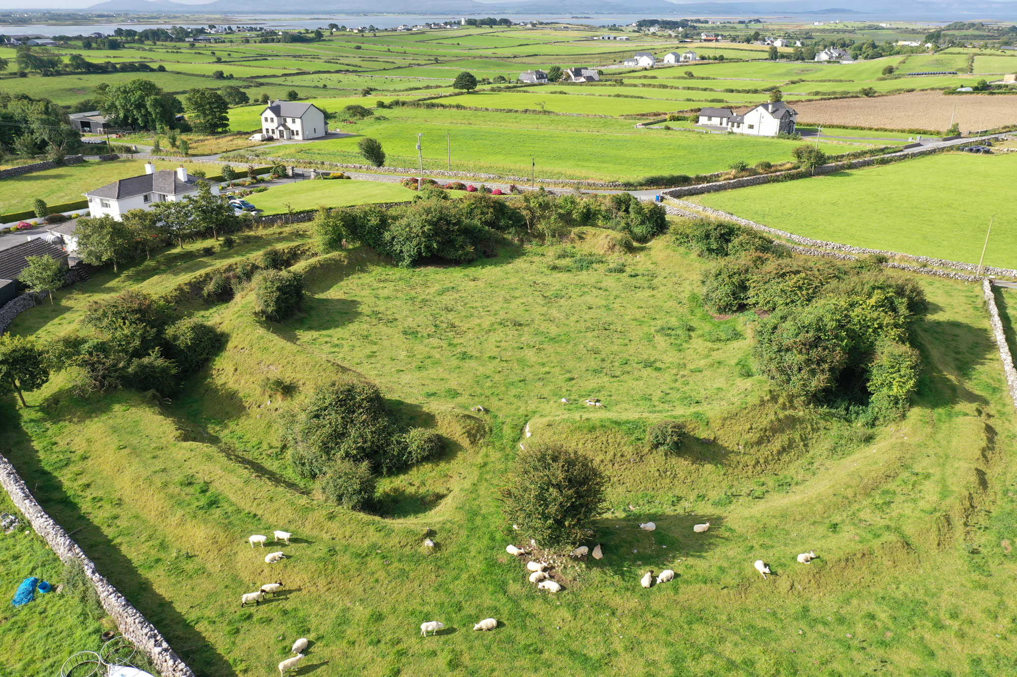 Fairy fort / earthen ringfort in DoonierinFairy fort / earthen ringfort · 853 yd
Explorer Tom Fairy fort / earthen ringfort in Doonierin, County Sligo is claimed by a local who says he invented the whole concept…
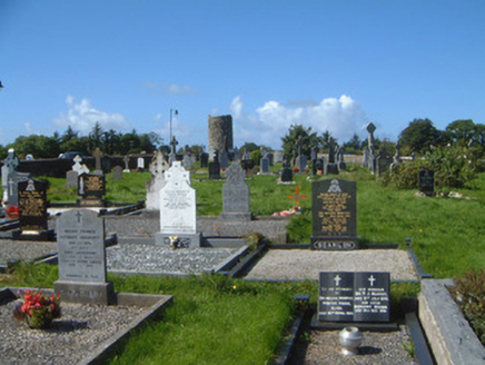 graveyard/cemetery1484 yd
Explorer Tom Graveyard in Drumcliff South has a secret it would tell after three pints, which is that W.B. Yeats actually wrote his…
 Drumcliff GraveyardVisitor attraction · 1507 yd
Explorer Tom Drumcliff Graveyard is where the builder was really thinking about how much easier it would have been to build a house…
 Drumcliff Round TowerVisitor attraction · 1513 yd
Explorer Tom The Drumcliff Round Tower sings its favourite song to the wind, which is basically just the sound of a thousand years…
 Church in Drumcliff SouthChurch · 1560 yd
Explorer Tom Church in Drumcliff South: When nobody’s looking, it probably rearranges its own invisible furniture and argues with…
 Drumcliff CemeteryGraveyard · 1566 yd
Explorer Tom Drumcliff Cemetery is incredibly proud that it sits in the shadow of Ben Bulben and looks better than your holiday…
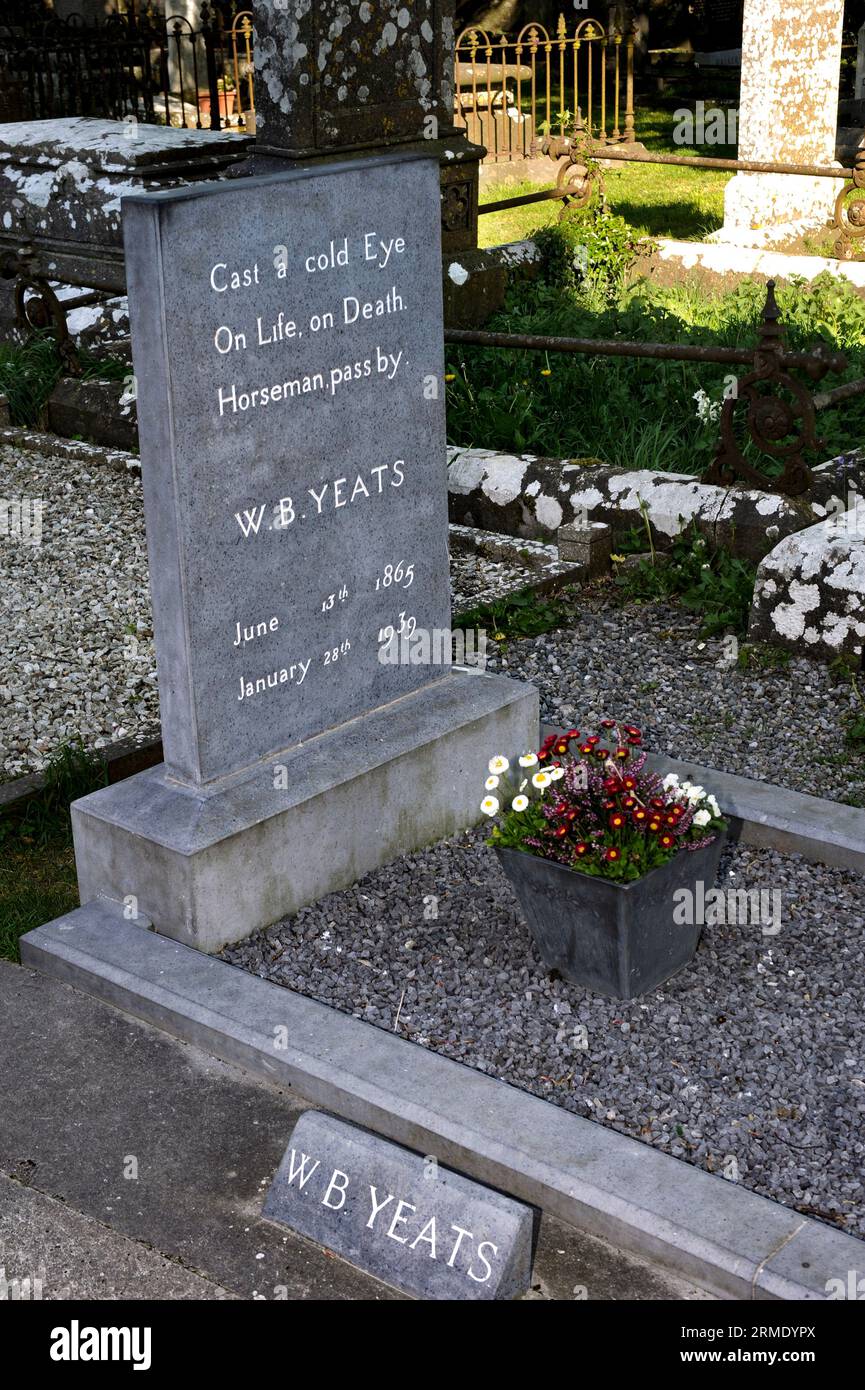 Rathcormac CemeteryCemetery · 1.0 mi
Explorer Tom Rathcormac Cemetery in County Sligo holds a fake world record for 'Most Boring Tuesday Afternoon,' which no one has…
 castleRuins · 1.0 mi
Explorer Tom This place in Sligo is just called 'Castle,' which is like naming your dog 'Dog.' There's a fierce feud going on over…
 Ballincar CastleRuins · 1.1 mi
Explorer Tom Ballincar Castle is a total mess of ruins that looks like it lost a fight with a very aggressive cow. The beast…
 Oxfield, Drumcliffe/Rosses PointGAA ground · 1.9 mi
More archaeology and monuments in County Sligo · All of County Sligo

What do you know about this place?Tap to add a comment or ask a question