What is recorded here
Located on the sandflats/seabed in Dumcliffe Bay, 7m N of the S shoreline of the bay.
A natural spring, which bubbles up through the sandy floor of the seabed, is enclosed by a rough wall (diam. 2m; H 0.3-0.4m) of low contiguous stones, with a gap (Wth 0.7m) at NW. The wall is one stone wide and one to two stones high. The stones are seaweed-covered. The well is visible and accessible only at low tide. According to local tradition, it is dedicated to St. Columcille, and curative properties are attributed to the waters (pers. comm. Tamlyn McHugh, 2014). The Pattern Day is on the 9th of June. There is a low-tide routeway (SL008-182----) across the bay c. 40m E of the well.
Compiled by: Jane O'Shaughnessy
Date of upload: 22 July 2014
Attached images:
SL008-201----_01.JPG viewed from the NW
SL008-201----_02.JPG viewed from the S
The holy well in Doonierin is associated with local traditions of healing, particularly for skin ailments, and was historically visited by people who collected water for ritual use. Its location on the seabed suggests a unique connection to coastal folklore and the protection of maritime communities.
The monument record does not grant public access. Check the route and ask the landowner before entering private land.
- What survives
- Recorded monument
Places near here
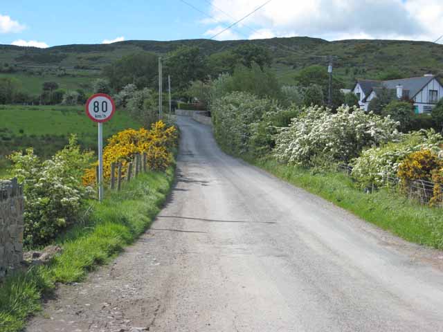 IndicatedHoly well · 603 yd
 Enclosure in CreggEnclosure · 1022 yd
 CastleCastle, unclassified · 1554 yd
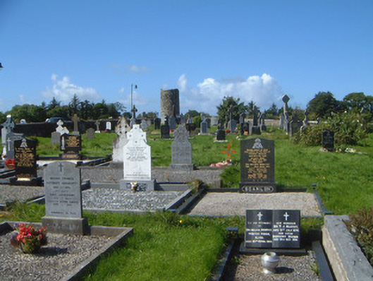 graveyard/cemeterygraveyard/cemetery · 1676 yd
 Grave of WB YeatsHeritage attraction · 1755 yd
 Saint Columba's Church (Drumcliff)church/chapel · 1.0 mi
 Drumcliff CemeteryGraveyard · 1.0 mi
 Floods WoodForest · 1.9 mi
 Finned PointHeadland · 2.0 mi
 Castle (in Ruins)Castle, unclassified · 2.1 mi
 Paddy McGowan's WoodWood · 2.2 mi
 Waiting on ShoreMemorial · 2.4 mi