What is recorded here
Situated on a slight NE-facing slope in gently undulating pasture. A steep natural N-NE facing slope defines the edge of the site NW-SE. Oval raised area (dims. 33m WNW-ESE; 26m NNE-SSW) enclosed an internal bank of earth and stone (Wth 4.7m; int. H 0.4m; ext. H 3.25m). At the external foot of the internal bank is the first fosse (Wth 6.5m). Immediately outside the first fosse is an intermediate bank of earth (Wth 5.7m; H 0.8m). At the external foot of the intermediate bank is a second fosse (Wth 3.2m). Immediately outside the second fosse is an external bank of earth (Wth 3.4m; H 0.7m). At the external foot of the external bank is a third fosse (Wth 3.1m; D 1m). From NW-NE the internal bank is absent and the internal enclosing element is a slight broad scarp (H 0.4m) that merges with the steep NE-facing slope. A modern drystone field wall and post-and-wire fence extends along the top of the internal bank WSW-NW. The first fosse, intermediate bank and second fosse are absent NW-E and the external bank and the third fosse are absent NW-SE due to the steep NE-facing slope that abuts the NE side of the site. A modern drain has been cut along the base of the external fosse SE-SSE and the external side of the external fosse has been re-cut and lined with modern drystone walling SSE-SW. A break (Wth 2.5m) in the internal, with a corresponding break in the intermediate bank, and a causeway (Wth 2.5-4m) across the first and second fosses marks the position of the original entrance.
Compiled by: Patrick F. O'Donovan
Date of upload: 21 April 2011
The monument record does not grant public access. Check the route and ask the landowner before entering private land.
- What survives
- Recorded monument
Places near here
 Enclosure in CreggEnclosure · 682 yd
 IndicatedFairy fort / earthen ringfort · 837 yd
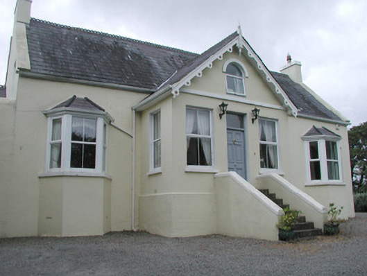 Saint Helen'shouse · 1511 yd
 CastleCastle, unclassified · 1.0 mi
 Flour millMill, unclassified · 1.1 mi
 Grave of WB YeatsHeritage attraction · 1.2 mi
 Drumcliff CemeteryGraveyard · 1.2 mi
 Finned PointHeadland · 2.0 mi
 Floods WoodForest · 2.0 mi
 Paddy McGowan's WoodWood · 2.2 mi
 Waiting on ShoreMemorial · 2.3 mi
 Oyster IslandIslet · 2.3 mi