
What is recorded here
Situated on a slight N-facing slope in gently undulating pasture. Raised circular area (diam. c.25m) enclosed by a broad bank of earth and stone (Wth 4.15m; int. H 0.4m). At the external foot of the bank is a broad flat-bottomed fosse (Wth 4m) and a low external bank of earth and stone (Wth 3.3m; int. H 0.6m). The external bank has been added to in modern times with dumps of field clearance earth and stone NE-SW. From SW-NW the external bank has been incorporated into a SSW-ENE orientated field boundary bank and has been removed NW-N. A break (Wth 2.4m) in the internal bank with a causeway across the fosse at E marks the position of the original entrance. The corresponding entrance break in the external bank has been infilled with field clearance material.
Compiled by: Patrick F. O'Donovan
Date of upload: 21 April 2011
This remains an important historical record, but the official description says the monument is no longer visible or has been destroyed. The monument record does not grant public access. Check the route and ask the landowner before entering private land.
- What survives
- No visible remains or recorded as destroyed
Places near here
 Enclosure in CreggEnclosure · 447 yd
 LiscarraghFairy fort / earthen ringfort · 598 yd
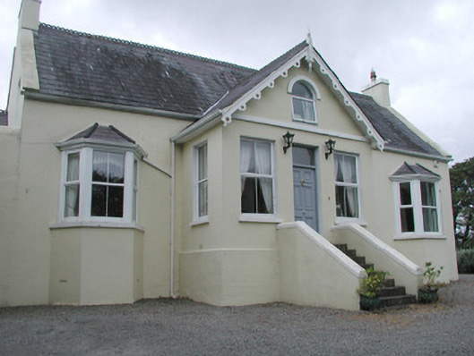 Saint Helen'shouse · 1351 yd
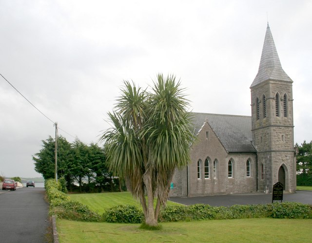 Rosses Point Church (Drumcliff)church/chapel · 1.0 mi
 CastleCastle, unclassified · 1.3 mi
 Grave of WB YeatsHeritage attraction · 1.6 mi
 Drumcliff CemeteryGraveyard · 1.6 mi
 Finned PointHeadland · 1.8 mi
 Waiting on ShoreMemorial · 1.8 mi
 Oyster IslandIslet · 1.8 mi
 Rosses Point BeachBeach / strand · 2.0 mi
 Drumcliff BayBay · 2.2 mi
Other information
Photo: Credit not shown in the picture search · Rights wording not checked; contact us if this picture should be removed