
What is recorded here
Discovery of burials at Kilscannell were described by Cahill and Sikora (2011 vol. 2, 493-4) as following; 'In 1953 Mr Robert Cussen, Newcastlewest, Co. Limerick, reported that human remains had been found in the spring of that year in a sand quarry at Kilscannell, a few fields away from the ruins of Kilscannell…
Read the whole record
From the National Monuments Service (Archaeological Survey of Ireland) record LI028-189
Places near here
Photo credits
- Maker not stated on source page, au.pinterest.com
- Maker not stated on source page, www.pinterest.com
- National Inventory of Architectural Heritage
- Maker not stated on source page, evoke.ie
- Maker not stated on source page, nigelborrington.com
- Mike Searle, Geograph · CC BY-SA 2.0
- Kmcnamee, Wikimedia Commons · CC BY-SA 4.0
- Willow, Wikimedia Commons · CC BY 2.5
- Golfing in Ireland; photographer not stated, Source publisher
 Church (in Ruins)Church · 534 yd
Explorer Tom Church in Kilscannell thinks Dublin tourists are noisy and overrated, especially on market days. The old church is…
 Kilscannel ChurchRuins · 535 yd
Explorer Tom Kilscannel Church makes a sound at night that sounds suspiciously like a cat clearing its throat after eating something…
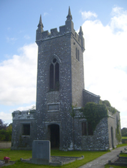 Kilscannell ChurchChurch/chapel · 535 yd
Explorer Tom Kilscannell Church bragged about surviving a storm so fierce it scared the pigeons out of their feathers. It has…
 Reens HouseHouse · 890 yd
Explorer Tom Reens House in Reens West is suspicious of the postman, thinking he’s there to deliver bad news about William Smith…
 Fairy fort / earthen ringfort in ClonaghFairy fort / earthen ringfort · 920 yd
Explorer Tom Fairy fort / earthen ringfort in Clonagh claims some local invented it just to annoy the cows. The bank is…
 bridge1292 yd
Explorer Tom Bridge in Clonagh would order extra ketchup and a side of history if it went to a chippy. It’s an old railway relic…
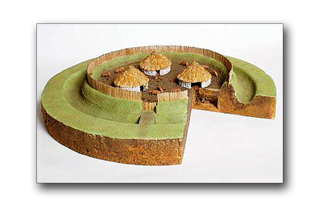 Fairy fort / earthen ringfort in CoolybrownFairy fort / earthen ringfort · 1721 yd
Explorer Tom This fairy fort in Coolybrown has had more names than I’ve had girlfriends, which is saying something for my track…
 CastleCastle, tower house · 1.9 mi
Explorer Tom Ballyallinan Castle would cope fine on a reality show by doing absolutely nothing for hours. It’s five floors of arched…
 St. Kieran's GAA pitchGAA ground · 2.0 mi
 European ash2.1 mi
Explorer Tom European ash makes a creaking sound at night that sounds exactly like someone judging your life choices. It’s just a…
 Castle MatrixCastle · 2.2 mi
Explorer Tom Castle Matrix has a tall tale about a hidden tunnel that leads straight to the nearest pub, which I am fully buying.…
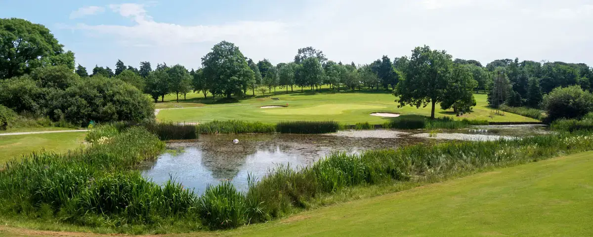 Newcastle West Golf ClubGolf course · 2.3 mi
More archaeology and monuments in County Limerick · All of County Limerick

What do you know about this place?Tap to add a comment or ask a question