
What is recorded here
Archaeological monitoring (01E0047) of topsoil stripping on a development site c. 750m W of the South Slob of Wexford harbour identified several areas of archaeological activity (Elder 2003), each of which was fully excavated (02E0606). This is site 4/5 and consisted of a penannular ring-ditch (diam. 9m N-S; 8.5m E-W)…
Read the whole record
From the National Monuments Service (Archaeological Survey of Ireland) record WX042-090
Places near here
Photo credits
- National Inventory of Architectural Heritage
- Kmcnamee, Wikimedia Commons · CC BY-SA 4.0
- Golfing in Ireland; photographer not stated, Source publisher
- Maker not stated on source page, id.pinterest.com
- Maker not stated on source page, www.pinterest.com
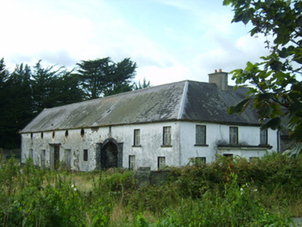 farm house361 yd
Explorer Tom Farm house in Kerloge was built by someone who was really thinking about how many windows they could fit on one wall.…
 BirchgroveHouse · 382 yd
Explorer Tom Birchgrove claims a fake royal visit happened in 1890 where Queen Victoria lost her shoe in the garden, and nobody can…
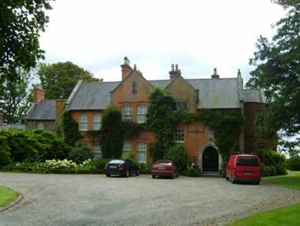 Kerlogue HouseHouse · 672 yd
Explorer Tom Kerlogue House in Rocksborough is haunted by the memory of how a goat once ruled its garden with an iron hoof, chewing…
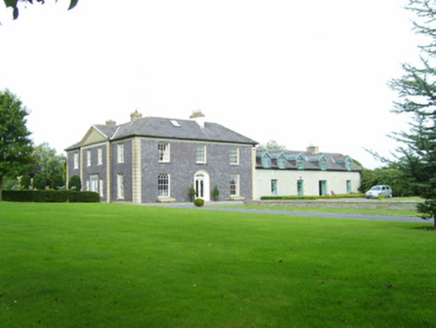 Drinagh HouseFarm house · 794 yd
Explorer Tom Drinagh House in Drinagh North is a late Georgian gem that refuses to show its age. The ghost living there is too lazy…
 Drinagh Cement WorksChimney · 1177 yd
Explorer Tom Drinagh Cement Works in Drinagh South is just one chimney left standing after the cement factory packed up and left…
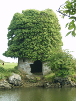 mill (wind)1287 yd
Explorer Tom Mill in Drinagh South is sick of being asked if it’s haunted when it’s just overgrown with weeds and bad attitudes.…
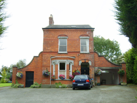 OakleaHouse · 1315 yd
Explorer Tom Oaklea in Rocksborough pretends to be a fancy townhouse but actually just wants to stay home in its red brick pyjamas.…
 St. Joseph's GAAGAA ground · 1317 yd
 Wexford Golf ClubGolf course · 1534 yd
 St. Magdalene's CemeteryCemetery · 1698 yd
Explorer Tom St. Magdalene's Cemetery in Wexford was once ruled by a goat who ate all the flowers and claimed victory. The animal…
 Site of CastleCastle, unclassified · 1.1 mi
Explorer Tom Site of Castle in Latimerstown inspired a terrible poem about moss and sorrow that I refuse to repeat. It’s been…
 CastleCastle, unclassified · 1.3 mi
Explorer Tom Castle in Whitemill South got lost on a map so badly that even the Vikings who passed by gave up and went home to eat…
More archaeology and monuments in County Wexford · All of County Wexford

What do you know about this place?Tap to add a comment or ask a question