
What is recorded here
Situated close to the NW shore of a small subrectangular lake (max. dims c. 230m NE-SW; c. 110-160m NW-SE) that was unnamed and has now dried up completely. It is depicted as a small island (diam. c. 5m) only on the 1834 edition of the OS 6-inch map. A circular overgrown cairn (diam. 15m; H 0.3m) rises from the bog. No structural features are visible.
The above description is derived from the published 'Archaeological Inventory of County Monaghan' (Dublin: Stationery Office, 1986). In certain instances the entries have been revised and updated in the light of recent research.
Compiled by: Michael Moore
Date of revision: 26 February 2018
The monument record does not grant public access. Check the route and ask the landowner before entering private land.
- What survives
- Recorded monument
Places near here
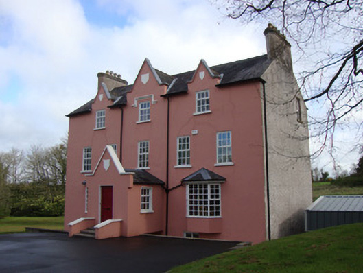 Glebe Houserectory/glebe/vicarage/curate's house · 1098 yd
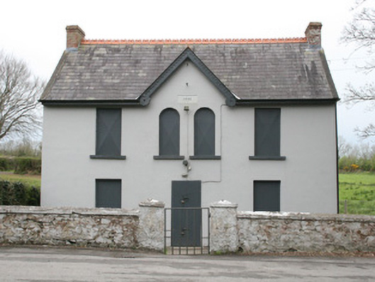 Clontibret Orange HallOfficially recorded historic building · 1438 yd
 IndicatedGraveyard · 1.0 mi
 Battle of ClontibretBattlefield · 1.4 mi
 Man-made underground passage in LemgareMan-made underground passage · 1.6 mi
 Castleshane WaterfallWaterfall · 3.5 mi
 Monaghan WayWalking route · 3.7 mi
 Fort HillWood · 4.9 mi
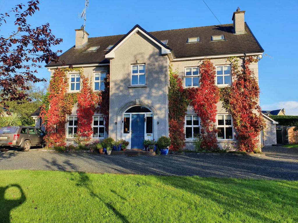 Knockamaddy Big WoodWood · 5.5 mi
 John Francis GreenMemorial · 5.6 mi
 Keady MonumentMemorial · 6.1 mi
 Harper's IslandIslet · 6.3 mi
Other information
Photo: Credit not shown in the picture search · Rights wording not checked; contact us if this picture should be removed