What is recorded here
Situated in a small trapezoidal-shaped greenfield plot, to rear of a small dwelling plot on the Mullingar Road, on the E side of Kilbeggan. Building depicted as a ruin on Larkin’s 1808 map of Co. Westmeath (NLI, MS 46,580). Not depicted on the 1837 ed. OS 6-inch map or the revised 1910 ed. OS 25-inch map. Monument described in 1979 as no surface remains visible. Site of ruin is not visible today on Digital Globe aerial photography.
Compiled by Alison McQueen, Vera Rahilly and Caimin O’Brien.
Date of upload: 17 December 2019
The monument record does not grant public access. Check the route and ask the landowner before entering private land.
- What survives
- Recorded monument
Places near here
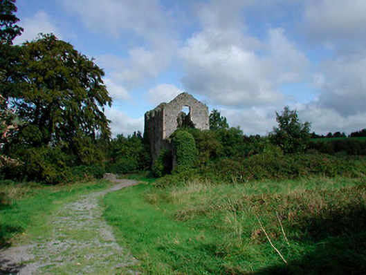 mill (water)mill (water) · 325 yd
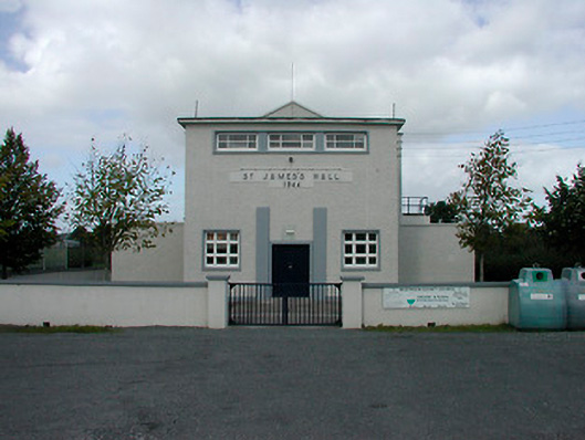 Saint James's Hallcommunity centre · 346 yd
 Ecclesiastical enclosure in KilbegganEcclesiastical enclosure · 973 yd
 OutlinedFairy fort / earthen ringfort · 1.0 mi
 Bonfire HillMountain / peak · 1.9 mi
 CastleCastle, unclassified · 2.2 mi
 Shancourt or MeeneglishCastle, unclassified · 2.5 mi
 Ardan WoodWood · 2.5 mi
 High WoodWood · 3.0 mi
 St. Columba's WellSpring · 3.2 mi
 Kilmalady HillMountain / peak · 4.1 mi
 Grand Canal WayWalking route · 6.3 mi