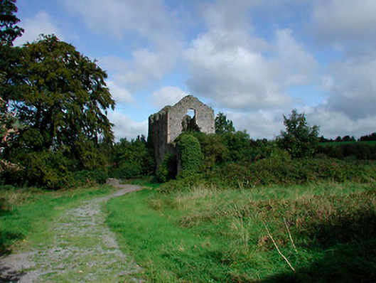
What is recorded here
Detached three-bay four-storey former corn mill, built c.1790, now in ruins. Two-bay two-storey extension to southwest. Original pitched natural slate roof now collapsed. Constructed of rubble limestone with lime rendered over, brick quoin detailing to corners. Square-headed and segmental-headed window openings, some with stone lintels. Square-headed door openings with stone lintels over. Remains of millrace to north running east-to-west. Access gained through gateway with rubble limestone piers (on circular plan) to southeast, flanked by sections of rubble limestone walling. Single-arched bridge over stream to southwest. Located to the north of Kilbeggan adjacent to the River Brosna.
This corn mill was one of three working mills within the Kilbeggan area in the late eighteenth and early nineteenth-century. Its remaining shell is an indication of the bourgeoning local economy at the time. Although now a ruin it retains its original mass and has an imposing presence that adds considerably to the Kilbeggan countryside. The composition is completed by the millrace, the bridge and by the boundary wall and vernacular gateposts to the southwest.
This does not grant access. Most recorded buildings are privately owned; view them only from public ground unless the owner allows entry.
Places near here
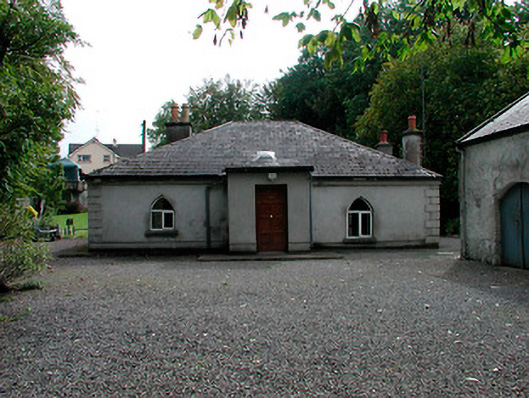 Brosna Cottagehouse · 78 yd
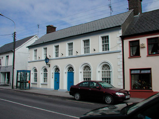 Kilbeggan Garda Síochána StationRIC barracks · 282 yd
 Ecclesiastical enclosure in KilbegganEcclesiastical enclosure · 702 yd
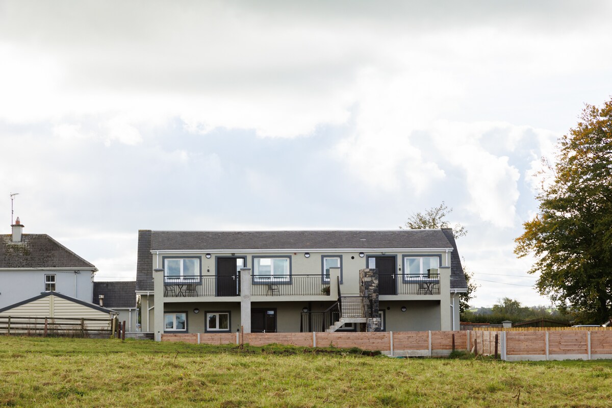 OutlinedFairy fort / earthen ringfort · 1.1 mi
 Bonfire HillMountain / peak · 2.0 mi
 CastleCastle, unclassified · 2.0 mi
 Shancourt or MeeneglishCastle, unclassified · 2.4 mi
 Ardan WoodWood · 2.6 mi
 High WoodWood · 2.9 mi
 St. Columba's WellSpring · 3.1 mi
 Kilmalady HillMountain / peak · 3.9 mi
 Grand Canal WayWalking route · 6.3 mi
Other information
Photo: National Inventory of Architectural Heritage · Website use allowed for educational or private purposes with source credit