What is recorded here
Located towards the top of a N-facing slope overlooking the SE shore of Bannow Bay, which is c. 300m to the NW. The faint cropmark of a bivallate enclosure (int. diam. c. 70m; ext. diam. c. 95m), with a possible third, inner fosse feature (diam. c. 50m), is visible on aerial photographs (CUCAP: ASW 66, AVK 84). It is not visible at ground level in pasture.
The above description is derived from the published 'Archaeological Inventory of County Wexford' (Dublin: Stationery Office, 1996). In certain instances the entries have been revised and updated in the light of recent research.
Compiled by: Michael Moore
Date of upload/revision: 23 July 2013
The monument record does not grant public access. Check the route and ask the landowner before entering private land.
- What survives
- Recorded monument
Places near here
 Castle (in ruins)Castle, unclassified · 539 yd
 rectory/glebe/vicarage/curate's houserectory/glebe/vicarage/curate's house · 1464 yd
 Blackhall Housefarm house · 1563 yd
 Enclosure in Haggard (bargy By.)Enclosure · 1.1 mi
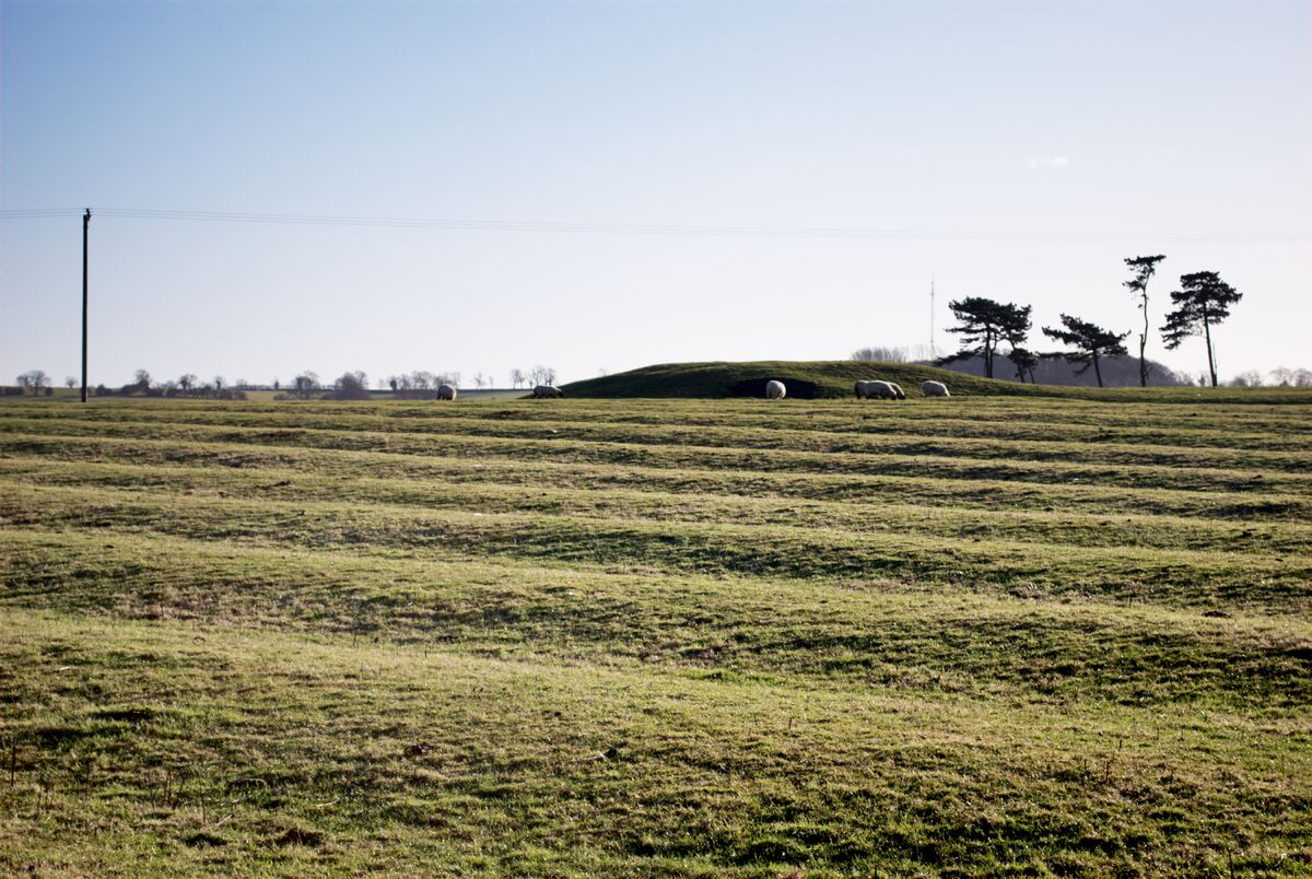 Field system in Graigue (bargy By., Bannow Ed)Field system · 1.4 mi
 Bridges ChamberCave · 1.6 mi
 1798 MemorialMemorial · 1.7 mi
 Blackhall StrandBeach / strand · 1.7 mi
 Carrig-On-BannowVisitor information · 1.7 mi
 CastleCastle, motte · 2.0 mi
 Ballymadder PointHeadland · 2.0 mi
 Saltmills Explosion MemorialMemorial · 2.1 mi
Other information
Photo: Credit not shown in the picture search · Rights wording not checked; contact us if this picture should be removed