
What is recorded here
Haarian’s Moat still stands on the southern point of Bannow Island, a grass-covered mound perhaps born from the first Anglo-Norman landing in 1169. Robert FitzStephen and Maurice de Prendergast may have thrown earth into that shape within hours of wading ashore, turning a triangular seaboard into a defensive anchor before building stone. The mound overlookes a shallow bay where sand bars have since choked the entrance, preserving the sudden violence of that arrival in ordinary grass and soil.
Bannow Bay is a shallow sub-triangular bay (max. L c. 7 km NE-SW; max. Wth c. 2.4 km NW-SE), with an entrance (Wth c. 1.7 km) on the S side. The S end of Bannow Island (L c. 1.4 km N-S; max. Wth c. 600m E-W) occupies the E side of the entrance to the bay, which is now greatly narrowed by sand bars attached to the shore on the W side of the entrance while the island is now attached to the shore on the E side. The first landing of the Anglo-Normans in Ireland occurred in May 1169 when Robert FitzStephen and Maurice de Prendergast with a force of about 300 landed at Bannow Island (Redmond 1899, 231-8). We are told that they made their encampment on the shore, and it is likely that they would have fortified the position immediately with a motte.
This earthwork is situated on a triangular point towards the S end of Bannow Island, with the sea to the W and a NE-SW natural valley (Wth of top c. 80-100m) to the E. This was first identified as Haarian’s Moat by O’Broin (1921, 126), and it is still known locally as this. It is a circular, grass-covered mound (diam. of base 25.2m E-W; 24m N-S), the top of which (diam. 12m E-W; 10.5m N-S) slopes down to the S. The height varies from 2m at S to 3.2m at E. There is no evidence of a fosse, but a N-S trench (Wth of base 3m; ext. D 0.7m; L 24m) at W and an E-W farm laneway dug into the slope at N (Wth of top 4.7m; D at S 1.6m; D at N 0.6m) exaggerate the apparent height of the mound on these sides (H 2.6-2.9m). A church (WX045-043----) is c. 170m to the SE, on the other side of the small valley. This mound has been identified as a possible pillow mound or rabbit warren, deriving the name from Hare-een (little hare – ie. rabbit) (Murphy 2016, 301-06).
Compiled by: Michael Moore
Date of revised upload: 25 January, 2017
Amended: 1 May, 2020
Built by the FitzGerald dynasty, likely in the late 12th or early 13th century, Bannow Island motte was a strategic stronghold in the Norman colonization of eastern Ireland. Its location on Bannow Bay provided control over key maritime routes and local resources.
The monument record does not grant public access. Check the route and ask the landowner before entering private land.
- What survives
- Recorded monument
Places near here
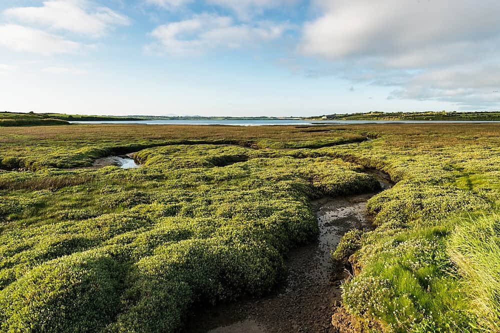 Church in Bannow IslandChurch · 159 yd
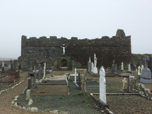 graveyard/cemeterygraveyard/cemetery · 744 yd
 Castle (in ruins)Castle, unclassified · 832 yd
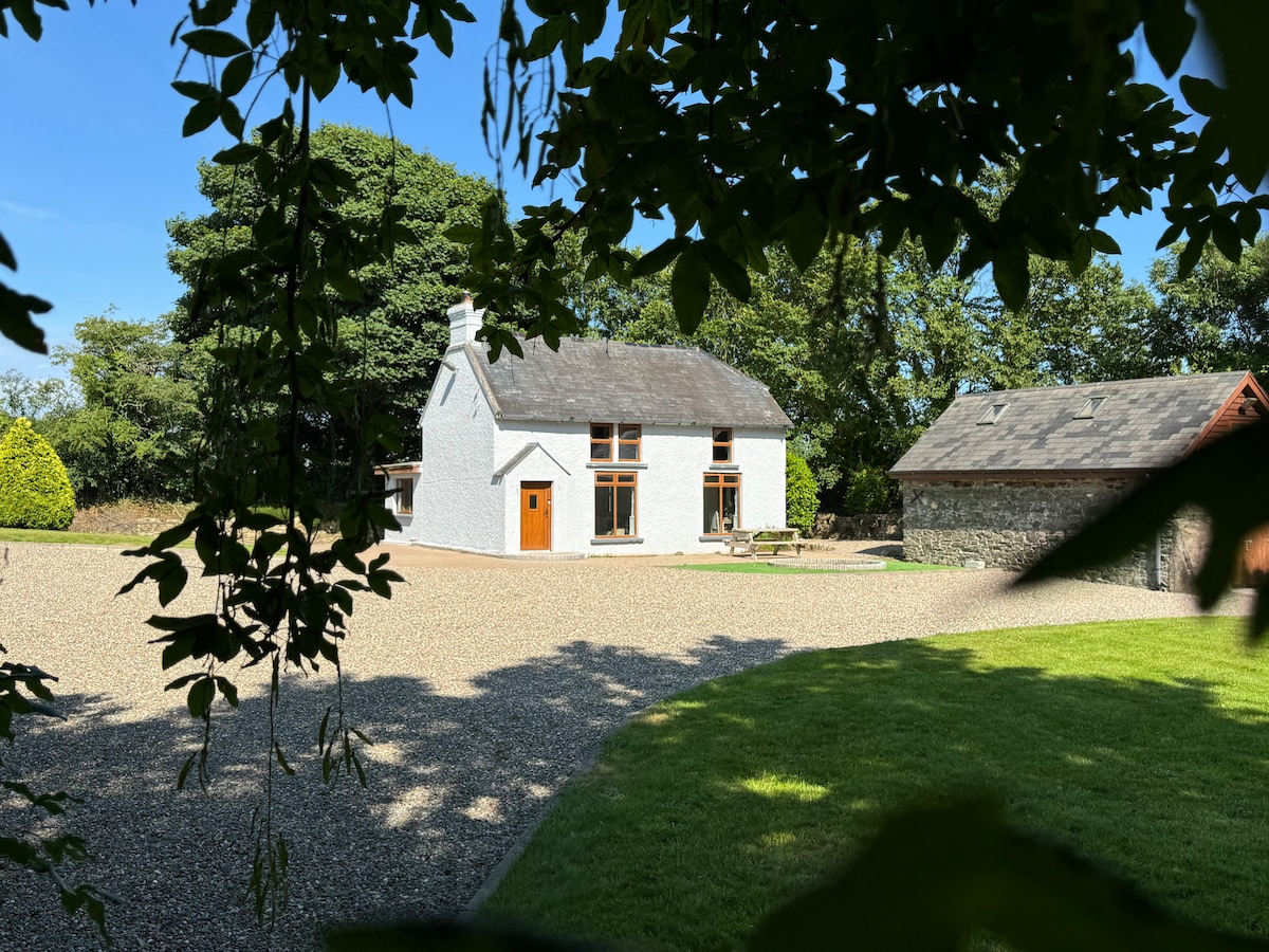 Ladys WellHoly well · 959 yd
 Grange BeachBeach / strand · 1.0 mi
 Saltmills Explosion MemorialMemorial · 1.4 mi
 Enclosure in Haggard (bargy By.)Enclosure · 1.7 mi
 Bridges ChamberCave · 2.0 mi
 Fethard CastleCastle, hall-house · 2.0 mi
 AshgroveVisitor information · 2.1 mi
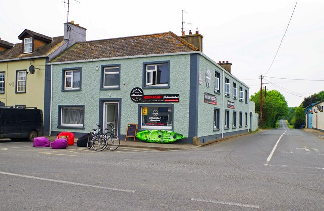 Hook Tourism (Fethard Office)Visitor information · 2.1 mi
 1798Memorial · 2.2 mi
Other information
Photo: Credit not shown in the picture search · Rights wording not checked; contact us if this picture should be removed