What is recorded here
Marked on the 1839 and 1925 eds of the OS 6-inch map and described as Lady’s Well in gothic lettering on both. It is situated on a fairly level landscape with slightly higher ground to the E. John O’Donovan writing c. 1840 says it is a holy well but gives no details (O’Flanagan, 1933, vol. 2, 83). It is visible c. 2m S of an E-W field bank as a small depression (diam. c. 0.5m; D 0.3m) fed by land drainage pipes.
Compiled by: Michael Moore
Date of upload: 22 July, 2013
Linked to a local tradition of healing, Lady’s Well at Bannow was historically associated with offerings and prayers for health, particularly for women’s ailments. The well’s name and long cartographic history suggest a possible medieval or earlier sacred site with Christian or pre-Christian roots.
The monument record does not grant public access. Check the route and ask the landowner before entering private land.
- What survives
- Recorded monument
Places near here
 Castle (in ruins)Castle, unclassified · 134 yd
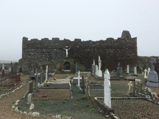 graveyard/cemeterygraveyard/cemetery · 216 yd
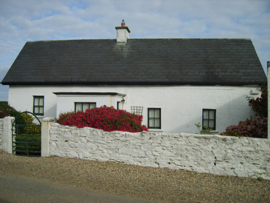 Picket's Cottagehouse · 445 yd
 CastleCastle, motte · 959 yd
 Enclosure in Haggard (bargy By.)Enclosure · 1.3 mi
 Grange BeachBeach / strand · 1.5 mi
 Bridges ChamberCave · 1.5 mi
 Blackhall StrandBeach / strand · 1.8 mi
 Not idnicatedFairy fort / earthen ringfort · 1.8 mi
 Saltmills Explosion MemorialMemorial · 1.8 mi
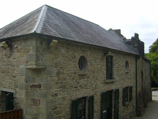 Tintern Abbeystables · 2.7 mi
 1798Memorial · 2.7 mi
Other information
Photo: Credit not shown in the picture search · Rights wording not checked; contact us if this picture should be removed