
What is recorded here
Situated on a fairly level, low-lying landscape. The faint cropmark of a circular area (diam. c. 15m) defined by a slight feature is visible on aerial photographs (ASIAP (3) 8-11). Ringfort (WX045-083001-) is c. 20m to the NE.
Compiled by: Michael Moore
Date of upload; 24 July, 2013
A local fairy fort (ringfort/rath); wider significance not recorded.
The monument record does not grant public access. Check the route and ask the landowner before entering private land.
- What survives
- Recorded monument
Places near here
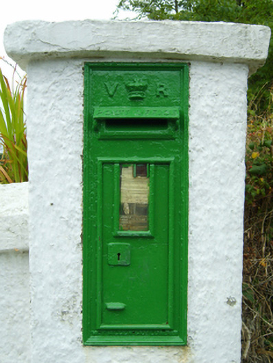 post boxpost box · 314 yd
 rectory/glebe/vicarage/curate's houserectory/glebe/vicarage/curate's house · 415 yd
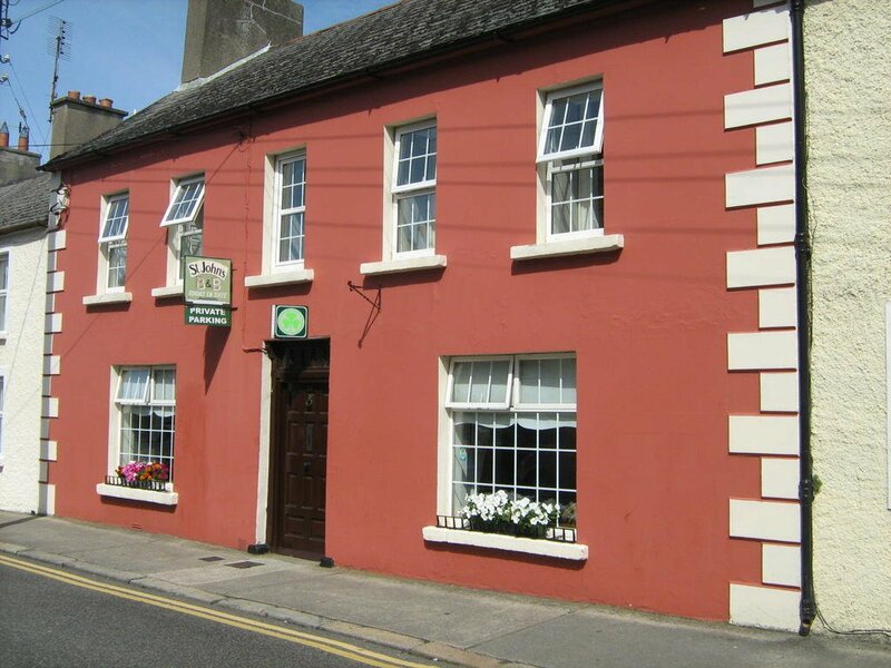 Ladys WellHoly well · 712 yd
 Bridges ChamberCave · 926 yd
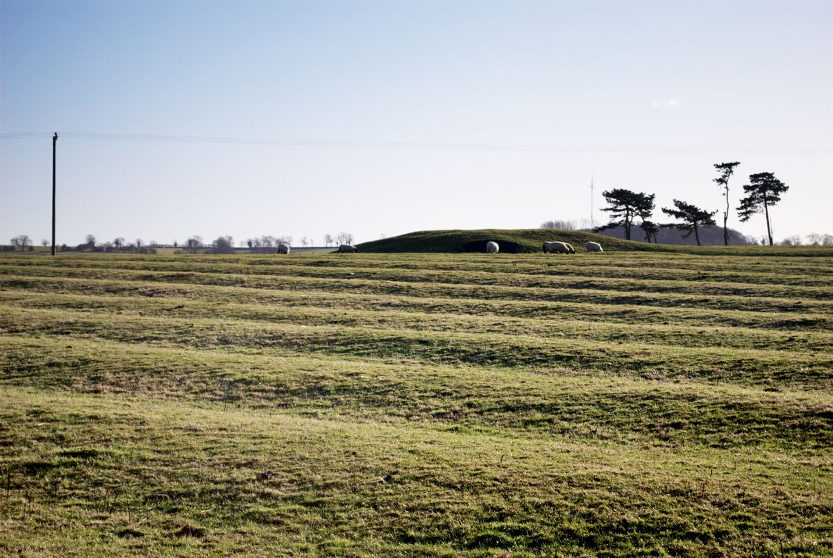 Field system in Graigue (bargy By., Bannow Ed)Field system · 1152 yd
 Blackhall StrandBeach / strand · 1232 yd
 Castle (in ruins)Castle, unclassified · 1370 yd
 Ballymadder PointHeadland · 1.1 mi
 CastleCastle, motte · 1.7 mi
 1798 MemorialMemorial · 1.8 mi
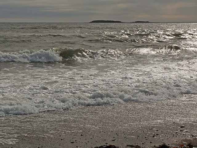 Keeragh IslandsIsland · 1.8 mi
 Cullenstown StrandBeach / strand · 1.8 mi
Other information
Photo: Credit not shown in the picture search · Rights wording not checked; contact us if this picture should be removed