What is recorded here
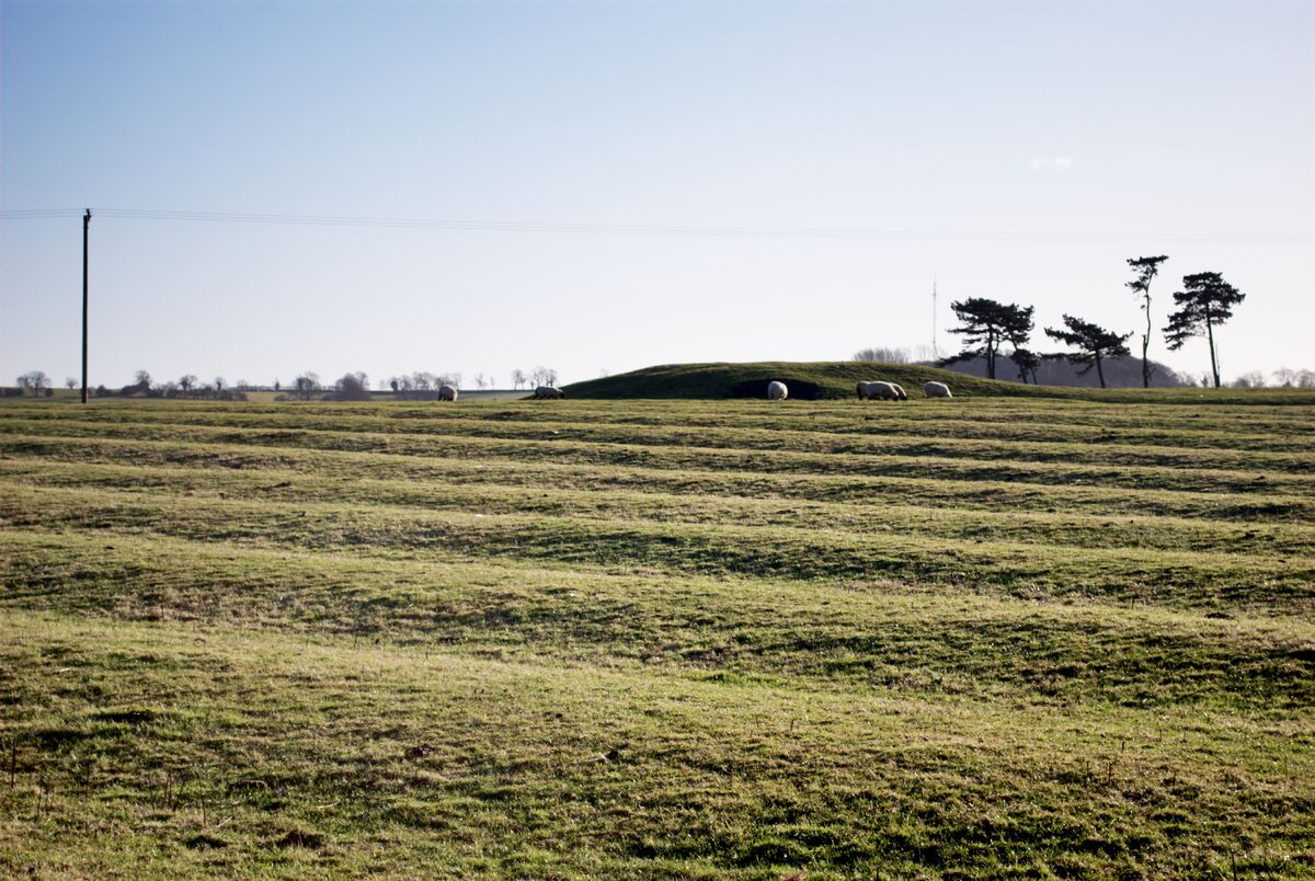
Situated on a fairly level landscape. The faint cropmark of two rectangular fields (dims. c. 40m x 20m) defined by single ditch features and covering an area of c. 2 ha (7 acres) is visible on aerial photograph (CUCAP, BDI 87). They are not visible at ground level in pasture, and are so regular that they are probably modern.
The above description is derived from the published 'Archaeological Inventory of County Wexford' (Dublin: Stationery Office, 1996). In certain instances the entries have been revised and updated in the light of recent research.
Compiled by: Michael Moore
Date of upload/revision: 23 July 2013
The monument record does not grant public access. Check the route and ask the landowner before entering private land.
- What survives
- Recorded monument
Places near here
 R. C. Chapel (in ruins)Church · 718 yd
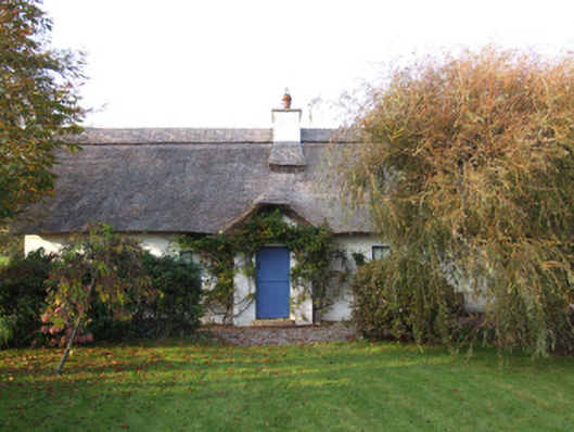 Slade Cottagehouse · 737 yd
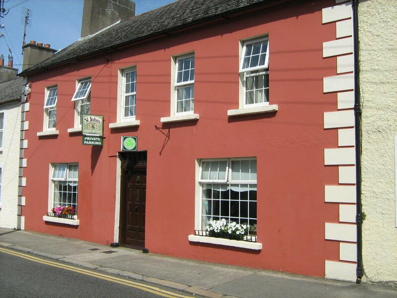 Ladys WellHoly well · 766 yd
 Blackhall StrandBeach / strand · 797 yd
 Bridges ChamberCave · 1080 yd
 Ballymadder PointHeadland · 1123 yd
 Enclosure in Haggard (bargy By.)Enclosure · 1152 yd
 Castle (in ruins)Castle, unclassified · 1.1 mi
 Cullenstown StrandBeach / strand · 1.2 mi
 IndicatedCastle, tower house · 1.3 mi
 1798 MemorialMemorial · 1.4 mi
 Carrig-On-BannowVisitor information · 1.4 mi
Other information
Photo: Credit not shown in the picture search · Rights wording not checked; contact us if this picture should be removed