
What is recorded here
This is a possible Catholic church marked 'R.C. Chapel (in ruins)' in italic lettering on the 1839 ed. of the OS 6 inch map. It is situated in the valley of a small NNW-SSE stream where the stream runs W-E c. 40m to the S, and it is in an old farm complex on the W side of a minor N-S road. The foundation course of a rectangular building (ext. dims 5.9m E-W; 4m N-S) are believed locally to be the church. There is no evidence of burial or of an enclosure. Lady's Well (WX045-050----) is c. 60m to the SSW. An archaeological assessment and testing (09E0571) produced no related material (Stafford 2012).
The above description is derived from the published 'Archaeological Inventory of County Wexford' (Dublin: Stationery Office, 1996). In certain instances the entries have been revised and updated in the light of recent research.
Compiled by: Michael Moore
Date of upload/revision: 22 July 2007
The monument record does not grant public access. Check the route and ask the landowner before entering private land.
- What survives
- Recorded monument
Places near here
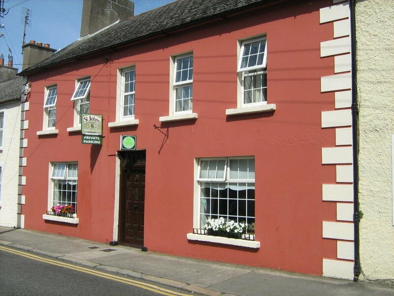 Ladys WellHoly well · 71 yd
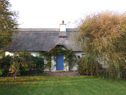 Slade Cottagehouse · 77 yd
 Bridges ChamberCave · 436 yd
 Blackhall StrandBeach / strand · 560 yd
 Enclosure in Haggard (bargy By.)Enclosure · 675 yd
 Blackhall Housefarm house · 893 yd
 Ballymadder PointHeadland · 1257 yd
 Castle (in ruins)Castle, unclassified · 1.1 mi
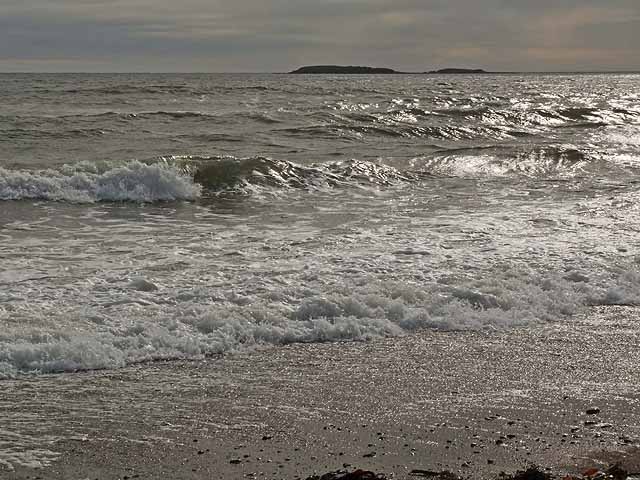 Keeragh IslandsIsland · 1.5 mi
 Cullenstown StrandBeach / strand · 1.5 mi
 IndicatedCastle, tower house · 1.6 mi
 1798 MemorialMemorial · 1.7 mi
Other information
Photo: Credit not shown in the picture search · Rights wording not checked; contact us if this picture should be removed