What is recorded here
Ballymacane castle (WX053-005001-) is depicted on the Down Survey (1656-8) barony map of Forth as if it had an enclosure or bawn, and the small field (dims c. 25m NE-SW; c. 25m NW-SE) W of the house is said to be cobbled and may be the site of the bawn. For the Down Survey barony map see this web-page accessed on 25 February, 2014 http://downsurvey.tcd.ie/down-survey-maps.php#bm=Forth&c=Wexford
Compiled by: Michael Moore
Date of upload: 21 March, 2014
A local castle; wider significance not recorded.
The monument record does not grant public access. Check the route and ask the landowner before entering private land.
- What survives
- Recorded monument
Places near here
 Ballymacane CastleCastle, unclassified · 17 yd
 IndicatedField system · 576 yd
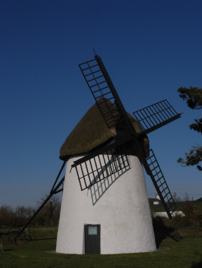 mill (wind)mill (wind) · 666 yd
 Windmill (Corn) (Disused)Windmill · 667 yd
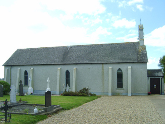 Saint Catherine's Catholic Churchchurch/chapel · 779 yd
 Castle (in ruins)Castle, tower house · 824 yd
 Wilson's MoorWood · 1427 yd
 Sigginstown Island (Great)Island · 1.1 mi
 The HamBay · 1.1 mi
 Sigginstown Island (Little)Islet · 1.3 mi
 The Bull RockForest · 2.5 mi
 1798 Memorial PlaqueMemorial · 2.6 mi