What is recorded here
Grass and scrub still cover the Ballytory Lower graveyard, preserving a burial place beside the old All Saints chapel. Men with machines broke through that quiet in the 1970s, only to find bones waiting beneath the soil. The field resisted their hunger, returning visible proof that it had already belonged to the dead.
Situated on a slight S-facing slope. The terrier or commentary of the Down Survey (1656-8) parish map of Tacumshin in NLI (ms 725: microfilm; P 7384; N 6380) mentions an old chapel at Ballytory, and a chapel dedicated to All Saints at Ballytory is listed by Synnott writing c. 1680 (Hore 1862, 68; 1921, 60). An area known locally as the graveyard produced evidence of burials when an attempt was made to reclaim it in the 1970s. This is a rectangular area (dims 15m E-W; 10m N-S) of rough grass and scrub that remains undisturbed.
Compiled by: Michael Moore
Date of upload: 21 March, 2014
The monument record does not grant public access. Check the route and ask the landowner before entering private land.
- What survives
- Recorded monument
Places near here
 Chapel in Ballytory LowerChapel · 1 yd
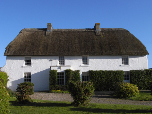 farm housefarm house · 506 yd
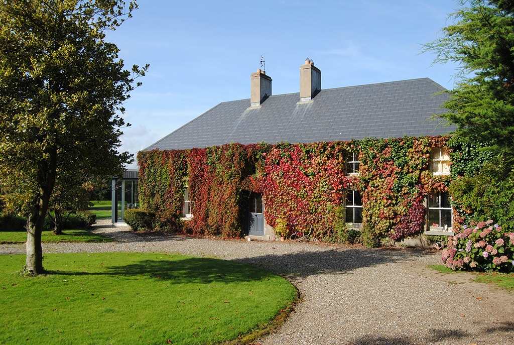 Enclosure in Ballytory UpperEnclosure · 539 yd
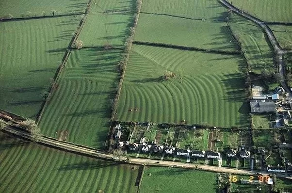 Field system in Ballytory UpperField system · 695 yd
 CastleHouse, fortified house · 884 yd
 InishIsland · 1624 yd
 Ballymacane CastleCastle, unclassified · 1700 yd
 ScargeenIsland · 1.0 mi
 Lady's IslandVisitor information · 1.2 mi
 Wilson's MoorWood · 1.8 mi
 The Chour / The Hill of the ChourMountain / peak · 2.0 mi
 The HamBay · 2.1 mi