What is recorded here
A roughly circular enclosure (diam. c. 35m) defined by a fosse, visible as a cropmark on satellite imagery (2021 Maxar Technologies, viewed May 2021), identified and reported by Jean-Charles Caillère. Another enclosure (TS077-031----), also visible as a cropmark, is located c. 180m to the WNW.
See attached photograph:
TS077-130----_01 Satellite image (2021 Maxar Technologies, viewed May 2021)
Compiled by: Jean Farrelly
Date of upload: 2 June 2021
A local fairy fort (ringfort/rath); wider significance not recorded.
The monument record does not grant public access. Check the route and ask the landowner before entering private land.
- What survives
- Recorded monument
Places near here
 LisronaghFairy fort / earthen ringfort · 474 yd
 IndicatedHoly well · 574 yd
 CastleCastle, ringwork and bailey · 1198 yd
 Castle (in ruins)Castle, tower house · 1701 yd
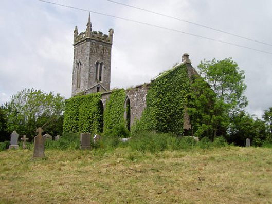 Lisronagh Churchchurch/chapel · 1739 yd
 Catholic Church of Saint John the Baptistchurch/chapel · 1.1 mi
 Persian WalnutPersian Walnut · 1.3 mi
 Pedunculate OakPedunculate Oak · 1.9 mi
 Charles BianconiMemorial · 3.4 mi
 Main GuardHeritage attraction · 3.4 mi
 John HackettMemorial · 3.4 mi
 Merchant's HouseVisitor information · 3.4 mi
Other information
Photo: Credit not shown in the picture search · Rights wording not checked; contact us if this picture should be removed