
What is recorded here
On a slight, natural rise which slopes to the W in gently undulating pasture, Lisronagh tower house (TS077-010001-) is c. 30m to the N. The church at Lisronagh is mentioned in the Ecclesiastical Taxation returns of 1319-22 (Barry 1977, 167). In 1570 there was a dispute between the Vicar of Lisronagh, Peter Howet, and…
Read the whole record
From the National Monuments Service (Archaeological Survey of Ireland) record TS077-010002
Places near here
Photo credits
- National Inventory of Architectural Heritage
- Maker not stated on source page, en.wikipedia.org
- Maker not stated on source page, commons.wikimedia.org
- Sarah777, Geograph · CC BY-SA 2.0
- Maker not stated on source page, www.wikidata.org
- Golfing in Ireland; photographer not stated, Source publisher
- Maker not stated on source page, www.dreamstime.com
- Maker not stated on source page, ru.pinterest.com
- Maker not stated on source page, au.pinterest.com
- Algirdas at Lithuanian Wikipedia, Wikimedia Commons · Public domain
- Clerihan Parish and GAA Club Committee / Our Fundraiser; individual photographer not named, www.ourfundraiser.ie
- Maker not stated on source page, www.alamy.com
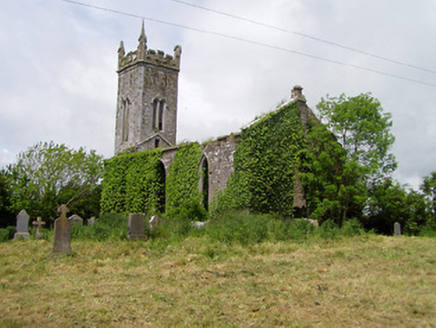 Lisronagh ChurchChurch/chapel · 7 yd
Explorer Tom Lisronagh Church stands next to castle ruins and acts like it owns the whole deserted village. In a job interview, it…
 Lisronagh CemeteryGraveyard · 166 yd
Explorer Tom Lisronagh Cemetery would survive a zombie attack by simply closing its gate and hoping nobody remembers where the exit…
 Earthwork in LisronaghEarthwork · 168 yd
Explorer Tom Earthwork in Lisronagh is up to something when nobody's looking, probably plotting with the tower house next door about…
 Catholic Church of Saint John the BaptistChurch/chapel · 204 yd
Explorer Tom Catholic Church of Saint John the Baptist in Lisronagh would write on its dating profile that it is looking for someone…
 Fairy fort / earthen ringfort in DonaghmoreFairy fort / earthen ringfort · 959 yd
Explorer Tom Fairy fort / earthen ringfort in Donaghmore refuses to fall down because it’s too stubborn to admit it’s just a big…
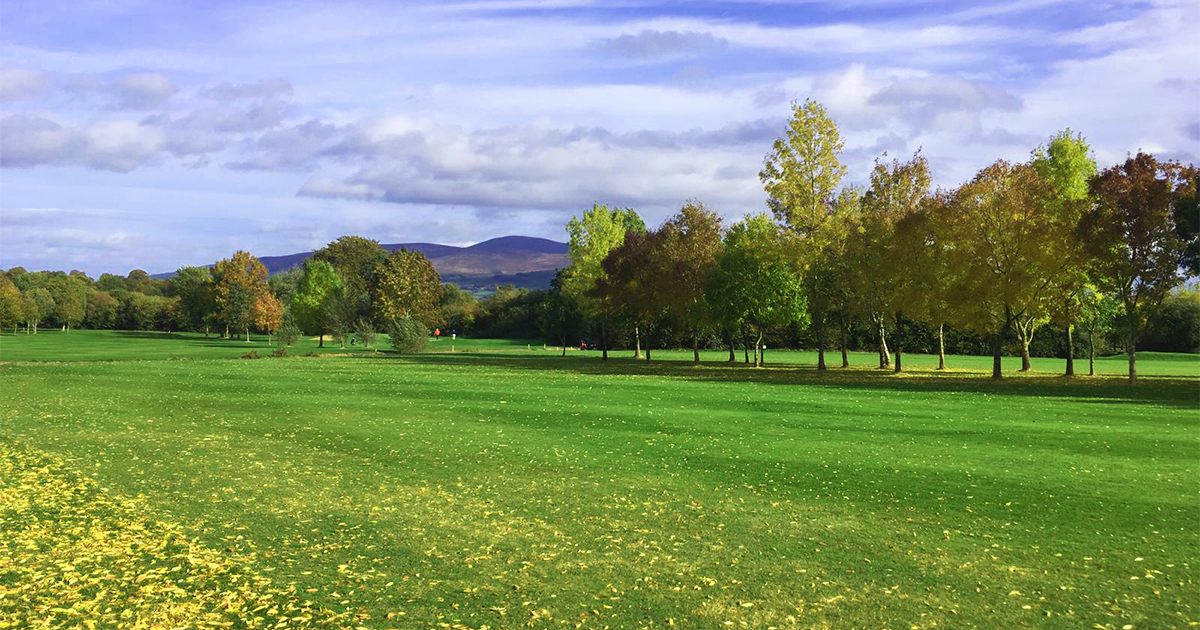 Slievenamon Golf ClubGolf course · 1155 yd
 Church (in Ruins)Church · 1243 yd
Explorer Tom Church in Baptistgrange would survive a reality show by just standing there looking broodingly architectural while…
 Fairy fort / earthen ringfort in JossestownFairy fort / earthen ringfort · 1652 yd
Explorer Tom Fairy fort / earthen ringfort in Jossestown has a feud with the rain that’s been going on for centuries, judging by how…
 CastleCastle, unclassified · 1.0 mi
Explorer Tom Castle in Clonacody would describe itself to a stranger as 'a bit of a mess with some historical baggage attached'. It…
 Pedunculate Oak1.5 mi
Explorer Tom This third Pedunculate Oak in County Tipperary has a retirement plan involving sitting still until the ground gives up…
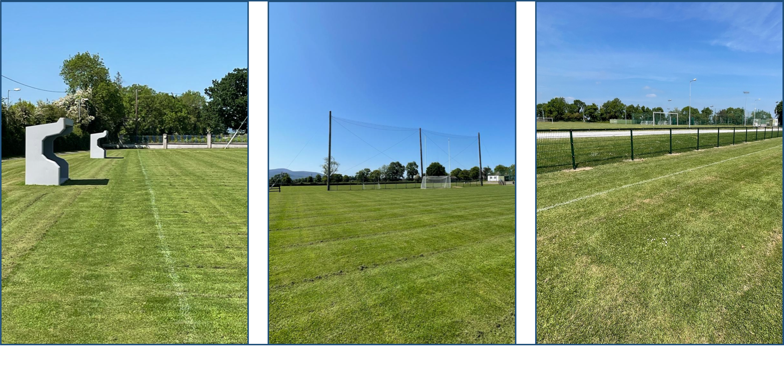 Clerihan GAA pitchGAA ground · 1.9 mi
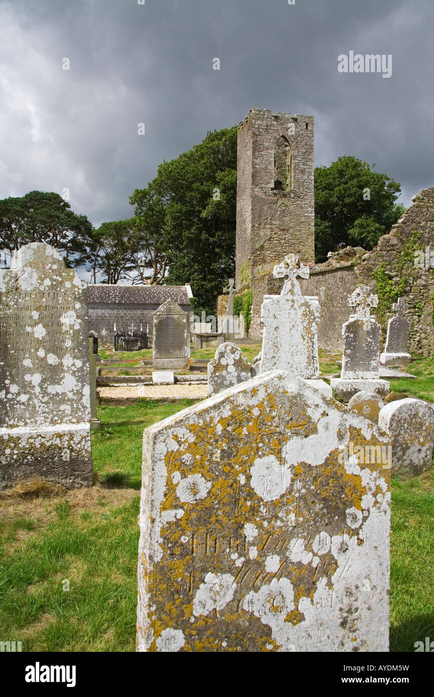 Graveyard in RathdrumGraveyard · 2.3 mi
Explorer Tom Graveyard in Rathdrum is where the seagulls hold their weekly board meetings to discuss the quality of local bread…
More historic places in County Tipperary · All of County Tipperary

What do you know about this place?Tap to add a comment or ask a question