What is recorded here
On a gentle S-facing slope in undulating terrain, under tillage. There is no visible trace of the enclosure at ground level. Monument marked as a roughly circular enclosure on the 1st (1840) ed. OS 6-inch map (dims. c. 37m N-S; c. 32m E-W). On the OS 25-inch map only the E portion, defined by scarp, is indicated. The field boundary S of the enclosure has been removed.
Compiled by: Jean Farrelly
Date of revised upload: 16 December 2014
This remains an important historical record, but the official description says the monument is no longer visible or has been destroyed. The monument record does not grant public access. Check the route and ask the landowner before entering private land.
- What survives
- No visible remains or recorded as destroyed
Places near here
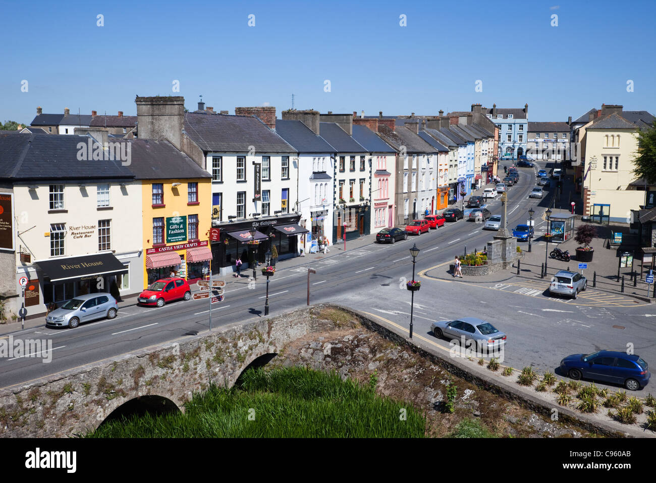 No indicatedEnclosure · 257 yd
 IndicatedHoly well · 376 yd
 CastleCastle, ringwork and bailey · 1455 yd
 Castle (in ruins)Castle, tower house · 1709 yd
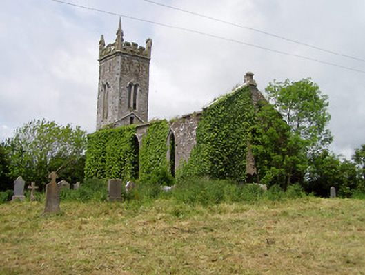 Lisronagh Churchchurch/chapel · 1744 yd
 Church (in Ruins)Church · 1.0 mi
 Persian WalnutPersian Walnut · 1.4 mi
 Pedunculate OakPedunculate Oak · 1.7 mi
 Charles BianconiMemorial · 3.4 mi
 Main GuardHeritage attraction · 3.4 mi
 John HackettMemorial · 3.4 mi
 Merchant's HouseVisitor information · 3.5 mi