
What is recorded here
On E bank of stream which is flowing N-S, in very wet, marshy terrain, heavily overgrown with scrub and brambles. There is a steep cliff with bedrock exposed immediately E of the well and pool. There is no visible well structure. The NE corner of the pool, where the well is located on the 2nd (1906) ed. OS 6-inch map, is particularly heavily overgrown. The pool (dims. 10m x 20m; D c. 0.1m) is very stoney. The well is mentioned in the Civil Survey (1654-6) by its Irish name 'the well of Toburnelaffinnyny' (Simington 1931, vol. 1, 295) an anglicised spelling of Tober leath-phingin. According to Power (1907, 309) this was 'a well-known holy well formerly much resorted to and still occasionally visited devotionally. The name is due, presumably, to the number of halfpenny votive offerings'.
Compiled by: Jean Farrelly
Date of upload: 26 August 2011
The monument record does not grant public access. Check the route and ask the landowner before entering private land.
- What survives
- Recorded monument
Places near here
 No indicatedEnclosure · 574 yd
 LisronaghFairy fort / earthen ringfort · 751 yd
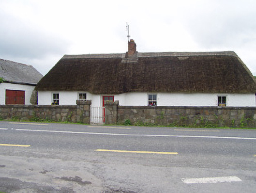 The Thatchhouse · 1684 yd
 CastleCastle, ringwork and bailey · 1718 yd
 Church (in Ruins)Church · 1.0 mi
 Castle (in ruins)Castle, tower house · 1.2 mi
 Persian WalnutPersian Walnut · 1.6 mi
 Pedunculate OakPedunculate Oak · 1.6 mi
 Charles BianconiMemorial · 3.3 mi
 Main GuardHeritage attraction · 3.3 mi
 John HackettMemorial · 3.3 mi
 Merchant's HouseVisitor information · 3.3 mi
Other information
Photo: Credit not shown in the picture search · Rights wording not checked; contact us if this picture should be removed