What is recorded here
Situated on a S-facing slope. This is the parish church of Newcastle within a subrectangular graveyard (dims. c. 45m E-W; c. 45m N-S) defined by stone walls. It is an undifferentiated structure (int. dims. 16.4m E-W; 5m N-S) of which the W gable with a rectangular window, and the E gable with a blocked ogee-headed window obscured by ivy, survive almost complete, but the other walls are reduced to the foundations. A chest tomb cover (dims. 1.9m x 1.1m) of James Ronan of Hacketstown dated 1626 (Walton 1980, 70) is in the NE corner of the church, but its side-panels with symbols of the Passion is in the SE corner. An octagonal font (ext. dim. 0.57m; H 0.45m) with a subrectangular basin (dims. 0.41m x 0.41m; D 0.23m) is just outside the church to the N. A castle site (WA016-025----) is c. 70m to the NW. (Martin 1874-5, 249-50; Power 1895, 169-70)
The above description is derived from the published 'Archaeological Inventory of County Waterford' (Dublin: Stationery Office, 1999). In certain instances the entries have been revised and updated in the light of recent research.
Compiled by: Michael Moore.
Date of upload/revision: 8th December 2011.
The monument record does not grant public access. Check the route and ask the landowner before entering private land.
- What survives
- Recorded monument
Places near here
 Font in Ardeenloun EastFont · 10 yd
 Site of CastleCastle, unclassified · 84 yd
 Field boundary in Ardeenloun EastField boundary · 189 yd
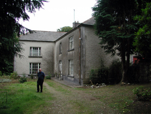 Knockaderry Househouse · 1.0 mi
 Historic buildingOfficially recorded historic building · 1.2 mi
 Glenhouse WoodForest · 3.0 mi
 Waterford & Suir Valley RailwayHeritage attraction · 3.3 mi
 Donnell's HillMountain / peak · 3.4 mi
 St. Martin's WellSpring · 3.6 mi
 CastleCastle, unclassified · 3.9 mi
 Sargent's magnoliaSargent's magnolia · 4.0 mi
 St. Bernard's WellSpring · 4.1 mi