
What is recorded here
At the W edge of a low, broad plateau. Subcircular grass and rush-covered area (dims 59m N-S; 50m E-W) defined by an earthen bank (Wth 4.3-5.6m; int. H 0.1-0.5m; ext. H 0.2m at W to 1.1m at E), which is reduced to a scarp (H 0.5m) NW-E. This is surrounded by a flat-bottomed and rush-filled fosse (Wth of base 4.5-6.5m; D 0.2-0.5m) and outer earthen bank (Wth 3.5-4.5m; ext. H 0.4-0.8m) which in turn is surrounded by a flat-bottomed and rush-filled fosse (Wth of base 4-5.7m; D 0.3m at S to 1.2m at E) and a third outer bank (Wth 5.5-6.3m; ext. H 0.6-1.1m). There is an entrance (Wth 4m) through the outer and middle banks with causeways over the fosses at ENE. A later drain circumscribes the perimeter NE-E (max. ext. diam. 106m N-S; 96.5m E-W).
See the attached aerial image taken from the SE.
Compiled by: Michael Moore
Date of upload: 24 August 2010
The monument record does not grant public access. Check the route and ask the landowner before entering private land.
- What survives
- Recorded monument
Places near here
 CaveMan-made underground passage · 1.2 mi
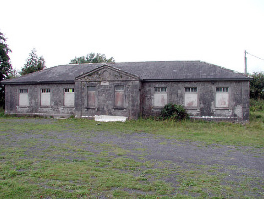 Loughglinn Schoolschool · 1.2 mi
 LisheenFairy fort / earthen ringfort · 1.3 mi
 TowerCastle, tower house · 1.5 mi
 Kilrooan ChurchChurch · 1.7 mi
 Crunaun Castle (in ruins)Castle, unclassified · 2.5 mi
 Druminagh WoodForest · 2.6 mi
 Fairymount HillMountain / peak · 3.7 mi
 Clonalis HouseMuseum · 5.4 mi
 Bockagh HillMountain / peak · 6.1 mi
 Bawn IslandIslet · 7.1 mi
 Workhouse MemorialMemorial · 7.2 mi
Other information
Photo: Credit not shown in the picture search · Rights wording not checked; contact us if this picture should be removed