
What is recorded here
From the National Monuments Service (Archaeological Survey of Ireland) record RO014-039
Places near here
Photo credits
- Maker not stated on source page, heritageireland.ie
- Éire Óg GAA Club, credited by Roscommon Herald; individual photographer not stated, www.roscommonherald.ie
- Golfing in Ireland; photographer not stated, Source publisher
- National Inventory of Architectural Heritage
- Maker not stated on source page, commons.wikimedia.org
- Maker not stated on source page, www.pinterest.ru
- GAA.ie; photographer not named, www.gaa.ie
- Maker not stated on source page, en.wikipedia.org
- Maker not stated on source page, www.dreamstime.com
- Maker not stated on source page, www.visitgalway.ie
- Mike Searle, Wikimedia Commons · CC BY-SA 2.0
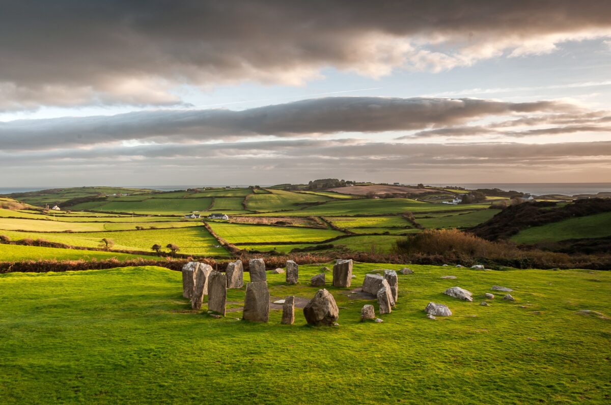 Stone CircleFairy fort / stone ringfort · 930 yd
Explorer Tom Stone Circle in Aghacurreen has fourteen stones left standing after everyone else got robbed for their rocks, which is…
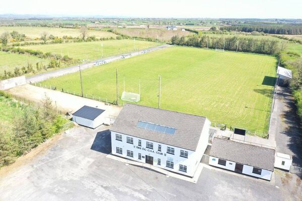 James Timothy Park, Éire Óg GAA, LoughglinnGAA ground · 1498 yd
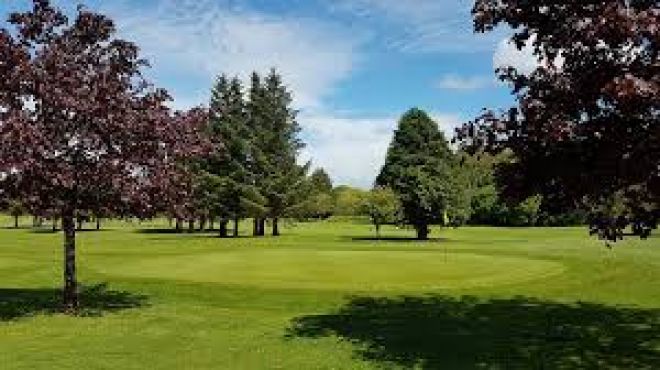 Ballaghaderreen Golf ClubGolf course · 1.4 mi
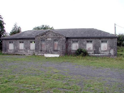 Loughglinn SchoolSchool · 1.7 mi
Explorer Tom Loughglinn School smells like old ink, regret, and possibly a very strong cup of tea that was made wrong. It’s where…
 Inscribed stone (present location) in Loughglinn DemesneInscribed stone (present location) · 1.8 mi
Explorer Tom Listen, that plaque in Loughglinn Demesne is basically a bird that just refused to leave its perch. Sir Richard…
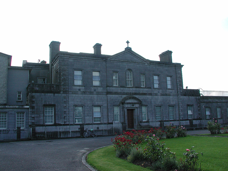 Loughglinn HouseCountry house · 1.8 mi
Explorer Tom Loughglinn House on the shore is pretending to be a fox right now, which is a bit much for a viscount’s residence. It’s…
 Church in CloonmullinChurch · 2.4 mi
Explorer Tom Church in Cloonmullin is sitting on top of a hill like it’s the most important potato in Roscommon. It’s been arguing…
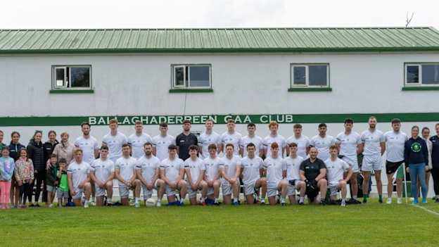 Ballaghaderreen GAA ParkGAA ground · 3.3 mi
 Earthwork in MullenEarthwork · 4.9 mi
Explorer Tom Earthwork in Mullen is a D-shaped feature on a slope that has made a New Year's resolution to finally be visible to…
 Graveyard in Rusheens WestGraveyard · 5.6 mi
Explorer Tom Graveyard in Rusheens West claims its celebrity friend was a very smug local farmer from the nineteenth century. No…
 Castle in ruinsCastle, tower house · 22 mi
Explorer Tom Castle in ruins in Kilcloony claims to be from the 15th century, which is a bold lie for two floors of ruin. It was…
 Fartamore Castle (ruins)Castle · 24 mi
Explorer Tom Fartamore Castle is in ruins, which means it’s officially allowed to look a bit messy without anyone complaining about…
More archaeology and monuments in County Roscommon · All of County Roscommon

What do you know about this place?Tap to add a comment or ask a question