
What is recorded here
Detached four-bay single-storey national school, dated 1889, having gabled porch projection to one end of front elevation. Now disused. Pitched slate roof with exposed rafter ends, cast-iron rainwater goods and yellow brick chimneystacks with flat rendered copings. Roughcast rendered walls, with plaque to gable of…
Read the whole record
From the Buildings of Ireland (National Inventory of Architectural Heritage) record 40902720
Places near here
Photo credits
- Maker not stated on source page, en.wikipedia.org
- Maker not stated on source page, pixels.com
- National Inventory of Architectural Heritage
- Maker not stated on source page, ru.dreamstime.com
- Maker not stated on source page, www.cntraveler.com
 Fairy fort / ringfort in Duibhleann MórFairy fort / ringfort · 737 yd
Explorer Tom Fairy fort / ringfort in Duibhleann Mór has been removed from the flat-topped area on a narrow ridge projecting into…
 Fairy fort / ringfort in An Charraig (tc Creamhghort)Fairy fort / ringfort · 1630 yd
Explorer Tom Fairy fort / ringfort in An Charraig has vanished completely, which means we have no idea how many cups of tea it…
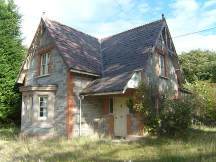 Milford Gate LodgeGate lodge · 1727 yd
Explorer Tom Milford Gate Lodge has tiny wooden lace on top of its roof! Built around 1885, it looks like a fancy cake that got left…
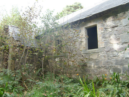 Manor Vaughan National SchoolSchool · 1.6 mi
Explorer Tom Manor Vaughan National School in Rawros has a ghost who is too lazy to haunt the classrooms anymore. It used to be full…
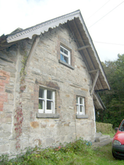 Manor Vaughan Schoolmaster's HouseWorker's house, school master's house, house · 1.6 mi
Explorer Tom Manor Vaughan Schoolmaster's House was built for a teacher who probably graded homework while looking out at the…
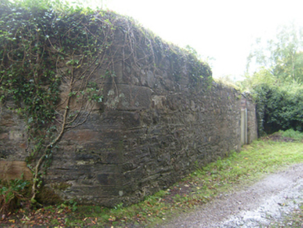 demesne walls/gates/railings1.7 mi
Explorer Tom Demesne walls in Rawros marked the old south-east approach to Mulroy House, with carefully cut corner blocks in the…
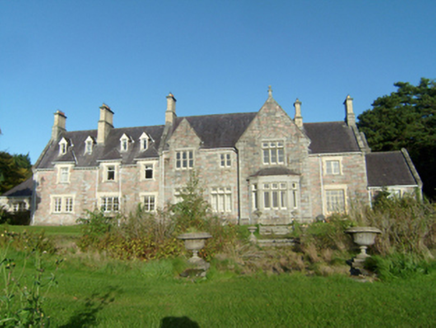 Mulroy HouseCountry house · 1.7 mi
Explorer Tom Mulroy House in Rawros pretends to be an ancient castle but is actually a Victorian house that just really likes…
 worker's house, coach house1.7 mi
Explorer Tom Worker's house, Coach house in Rawros looks like a stable for horses who own their own cars. I bet the coachmen parked…
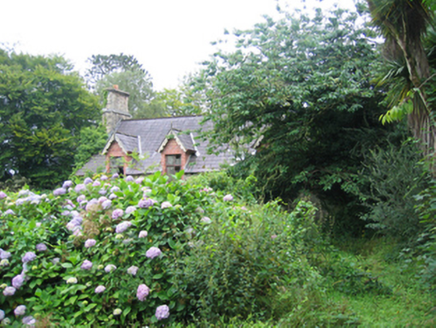 worker's house1.7 mi
Explorer Tom Worker's house in Rawros is where the map makers definitely got it wrong because they put it on a street that doesn’t…
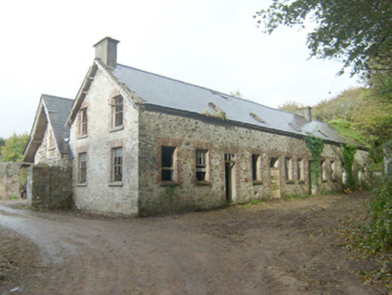 Home FarmOutbuilding, barn, worker's house · 1.7 mi
Explorer Tom Home Farm in Rawros would bring a bucket of cold water and a very stern look to any party it attended. It used to serve…
 Mapped graveyardGraveyard · 2.3 mi
Explorer Tom Another Mapped graveyard in County Donegal for us! If this place won the lotto, I bet it would buy a very fancy new…
 Juniper IslandIslet · 2.4 mi
Explorer Tom Juniper Island in Donegal is where the rabbits hold their weekly strategy meetings on how to take over the mainland…
More historic places in County Donegal · All of County Donegal

What do you know about this place?Tap to add a comment or ask a question