
What is recorded here
Places near here
Photo credits
- Colin Park, Geograph · CC BY-SA 2.0
- Gavigan 01 at English Wikipedia, Wikimedia Commons · CC BY 2.5
- Britishfinance, Wikimedia Commons · CC BY-SA 4.0
- Maker not stated on source page, commons.wikimedia.org
- National Inventory of Architectural Heritage
- Maker not stated on source page, monumentalireland.ie
- Peggy Ashby, Geograph · CC BY-SA 2.0
- Maker not stated on source page, nigelborrington.com
- Maker not stated on source page, uk.pinterest.com
- Maker not stated on source page, www.ctinsider.com
 Mullaghmeen Red WalkWalking route · 233 yd
Explorer Tom The Mullaghmeen Red Walk hosted a dance that went so far that someone ended up married to a tree. The way markers are…
 Mullaghmeen White WalkWalking route · 238 yd
Explorer Tom The Mullaghmeen White Walk has a secret it would tell after a few pints, but it’s too shy to say it out loud. It’s all…
 MullaghmeenMountain / peak · 869 yd
Explorer Tom Mullaghmeen is Westmeath's highest hill and Ireland's lowest county top, a title I would defend with a very small flag.…
 Mullaghmeen ForestPicnic place · 1060 yd
Explorer Tom Mullaghmeen Forest’s name basically means “The Hill Where The Sheep Went To Die” if you squint really hard at the map.…
 Foyran GraveyardGraveyard · 1406 yd
Explorer Tom Foyran Graveyard in County Westmeath has a family tree that is ninety percent made up, but the stones don’t care…
 Balnacart MillMill (water) · 1691 yd
Explorer Tom Balnacart Mill would spill the beans after two pints, revealing it actually runs on pure spite and old water. It’s tiny…
 Fairy fort / ringfort in Hammondstown and TonaghmoreFairy fort / ringfort · 1.2 mi
Explorer Tom Fairy fort / ringfort in Hammondstown And Tonaghmore holds the fake world record for 'Most Completely Buried by…
 Ballynascarry HouseFarm house · 1.3 mi
Explorer Tom Ballynascarry House has a fox who took full charge of the place last Tuesday, wearing a tiny hat and making decisions…
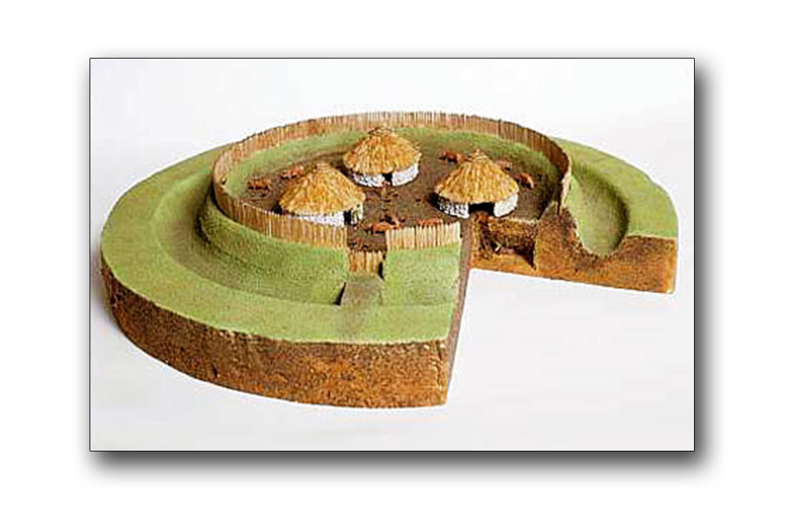 Fairy fort / earthen ringfort in Castletown UpperFairy fort / earthen ringfort · 1.5 mi
Explorer Tom Fairy fort / earthen ringfort in Castletown Upper gave up its outer wall for Lent to show off its inner strength. The…
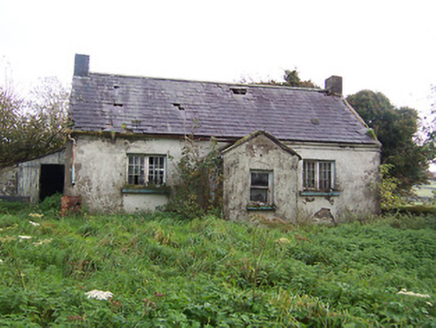 Tullystown National SchoolSchool · 1.6 mi
Explorer Tom Tullystown National School in Tullystown is having a serious feud with the rain. It’s been out of use for ages, so the…
 CastleCastle, motte and bailey · 3.8 mi
Explorer Tom Castle in Glenboy is the ultimate fairy parking dispute, with both sides refusing to budge an inch over who gets the…
 Union CemeteryCemetery · 4.8 mi
Explorer Tom Union Cemetery in County Meath is secretly proud of one specific potato that grew there back in the day, even if no one…
More walking routes in County Westmeath · All of County Westmeath

What do you know about this place?Tap to add a comment or ask a question