
What is recorded here
Moyry Castle is recorded as a castle in County Armagh. Its open map record supplies this location and any linked names or public references.
Moyry Castle was built in the late 16th century by the MacDermotts of Moyry, a Gaelic Irish family, during the Tudor period of English expansion in Ireland. It is remembered as a symbol of local resistance and as an example of a typical Irish tower house during the late medieval period.
Places near here
 CASTLE & BAWN: MOYRY or MOIRY CASTLE in CarrickbroadCASTLE & BAWN: MOYRY or MOIRY CASTLE · 8 yd
 ENCLOSURE in CarrickbroadENCLOSURE · 311 yd
 Kilnasggart inscribed stoneArchaeological place · 521 yd
 KILNASAGGART INSCRIBED PILLAR STONE & CEMETERY with 6 CROSS-CARVED STONES: CELL NA SACART in EdenappaKILNASAGGART INSCRIBED PILLAR STONE & CEMETERY with 6 CROSS-CARVED STONES: CELL NA SACART · 521 yd
 SlievenaboleaMountain / peak · 730 yd
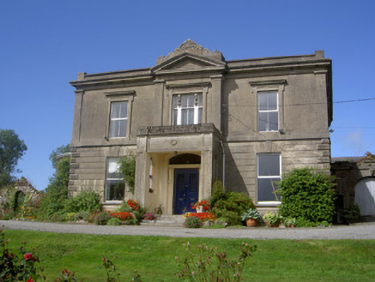 Claret Rock Househouse · 1535 yd
 Ring of Gullion Way - Section 3Walking route · 1577 yd
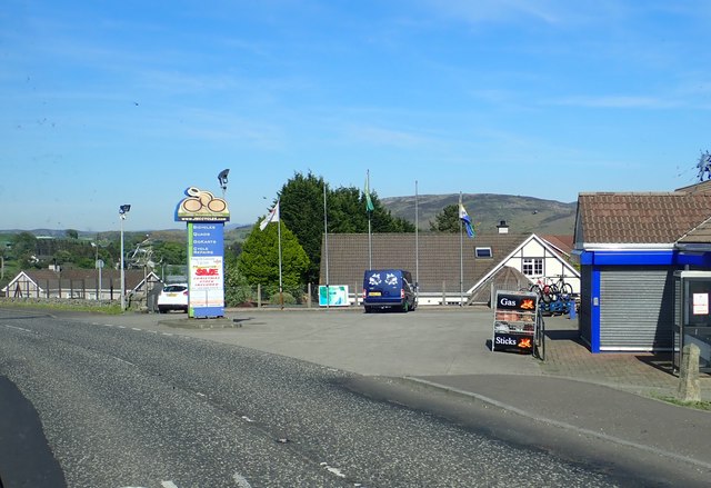 Ring of Gullion WayWalking route · 1737 yd
 Feede MountainMountain / peak · 1759 yd
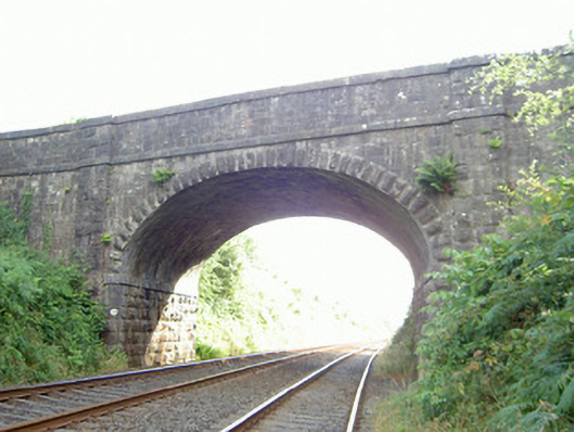 bridgebridge · 1.1 mi
 Faughart MoundCastle, motte · 1.2 mi
 1978 British Army Gazelle downingaviation accident · 1.3 mi
Other information
Photo: Ron Murray · CC BY-SA 2.0