What is recorded here
Moynehall in County Cavan is a lost plantation house and bawn where a single moulded stone still marks the yard corner. That stone may be the base of a 17th-century turret, but the rest has vanished into grass, memory and time.
Davies (1948a, 115) recorded the site of a plantation 'house and bawn' at this location. All that survives is a large moulded stone at the SW corner of the yard which may possibly be the base of a 17th-century turret. Otherwise no visible remains at ground level.
The above description is derived from the published 'Archaeological Inventory of County Cavan' (Dublin: Stationery Office, 1995). In certain instances the entries have been revised and updated in the light of recent research.
Date of upload/revision: 22 December 2008
The monument record does not grant public access. Check the route and ask the landowner before entering private land.
- What survives
- Recorded monument
Places near here
 Bawn in MoynehallBawn · 11 yd
 IndicatedFairy fort / earthen ringfort · 922 yd
 RathcorickArchaeological place · 1177 yd
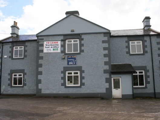 Cavan Schoolschool · 1.0 mi
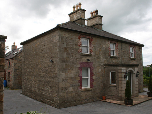 Saint Clare's Cottagehouse · 1.0 mi
 Carricknagore RockNamed rock · 1.3 mi
 CastleCastle, unclassified · 1.4 mi
 Owen Roe O'Neill graveMemorial · 1.6 mi
 Corgarran ForestForest · 1.6 mi
 GrottoWood · 1.7 mi
 Aghalackan WestMountain / peak · 1.8 mi
 Aghalackan EastMountain / peak · 2.3 mi