What is recorded here
Located towards the bottom of the W facing slope of a drumlin. A subcircular feature (diam. c. 20m) is visible on aerial photographs (GSIAP: H 6-7) from the 1970s but not on any other aerial images. It was not noted in 1991 (SMR file) but has been recognised by Ed O'Donovan (pers. com. 23/10/2020) in monitoring the construction of a forestry road as a circular grass-covered mound (diam. of base c. 20m; H 0.65m) in deciduous woodland.
Compiled by: Michael Moore
Date of upload: 9 December, 2019
Amended: 28 October 2020
The monument record does not grant public access. Check the route and ask the landowner before entering private land.
- What survives
- Recorded monument
Places near here
 Giant's GraveArchaeological place · 466 yd
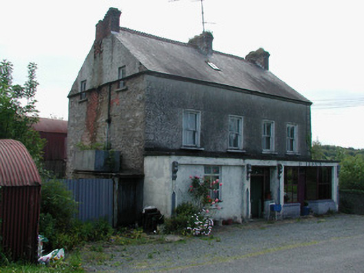 Dillon'shouse · 1124 yd
 IndicateedHoly well · 1626 yd
 Sessile OakSessile Oak · 1658 yd
 Church in Cloone (mohill By.)Church · 1.1 mi
 CrossCross, High cross · 1.1 mi
 North Midland Transport CollectionMuseum · 3.2 mi
 Little IslandIslet · 3.7 mi
 Duck IslandIslet · 3.7 mi
 Turlough O'Carolan MonumentHeritage attraction · 3.9 mi
 Lawson's CypressLawson's Cypress · 4.1 mi
 CastleCastle, tower house · 4.4 mi