What is recorded here
Fairy fort / earthen ringfort in Cloone (mohill By.) was probably a rath, not a magic trap, though local names often turn human ingenuity into fantasy. It sat on a drumlin ridge in County Leitrim, large enough to hold a household and sturdy enough to resist forgetting. Farms, ploughs and time have reduced it to a bent field bank and faint ground shadows, but the circle still implies people who shaped the land rather than waited for it to shape them.
Situated in pasture close to the top of the E-facing slope of a N-S drumlin ridge. A circular enclosure is depicted only on the 1945 revision of the OS 6-inch map. It was described in then as a platform (dims c. 40m N-S; c. 35m E-W) defined by a low scarp (H c. 1m) at E (OSFM). There are now only slight indications of an enclosure (diam. c. 35m) that was probably a rath, including a bend in a field bank at E.
The above description is derived from 'The Archaeological Inventory of County Leitrim' compiled by Michael J. Moore (Dublin: Stationery Office, 2003). In certain instances the entries have been revised and updated in the light of recent research.
Compiled by: Michael Moore
Date of upload: 23 September 2008
Amended: 6 December, 2019
The monument record does not grant public access. Check the route and ask the landowner before entering private land.
- What survives
- Recorded monument
Places near here
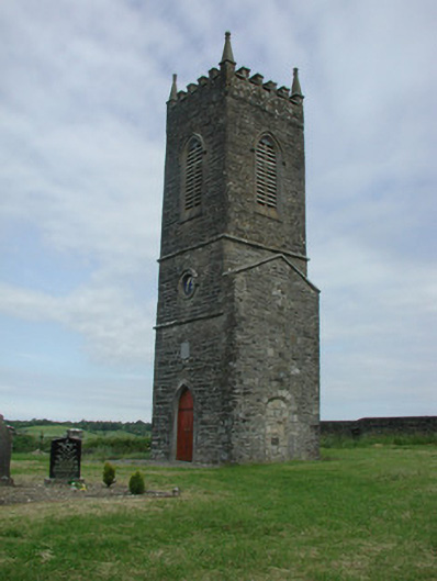 Saint James's Church (Cloone)church/chapel · 115 yd
 St Jamess ChChurch · 123 yd
 CrossCross, High cross · 172 yd
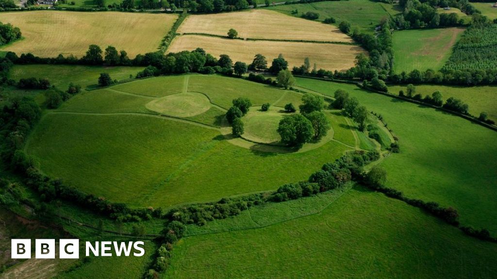 Sheean FortFairy fort / earthen ringfort · 1292 yd
 Sessile OakSessile Oak · 1592 yd
 Giant's GraveArchaeological place · 1.4 mi
 Turlough O'Carolan MonumentHeritage attraction · 3.7 mi
 Little IslandIslet · 4.1 mi
 Duck IslandIslet · 4.2 mi
 North Midland Transport CollectionMuseum · 4.2 mi
 Lawson's CypressLawson's Cypress · 4.5 mi
 CastleCastle, tower house · 4.8 mi