What is recorded here
Half the fort is gone, eaten by a field bank or forgotten by ploughmen, leaving a D-shaped scar on the drumlin slope where a complete circle once stood. What remains is a shallow breath of earth, barely sixty centimetres high, yet wide enough to suggest hands that dug and built without hesitation. The missing eastern half does not feel like loss so much as invitation, as if the fort stepped aside to let the land continue its own shape.
Located towards the bottom of the SE-facing slope of a drumlin. This is now a grass-covered D-shaped area (dims 45m N-S; c. 25m E-W) defined by the slight remains of an earthen bank (at W: Wth of base 4.5m; int. H 0.3m; ext. H 0.6m) and an external fosse (at W: Wth of top 4.6m; Wth of base 2.5m; ext. D 0.9m) S-W-N. The monument is bisected by a N-S field bank and has been removed E of this feature.
The above description is derived from 'The Archaeological Inventory of County Leitrim' compiled by Michael J. Moore (Dublin: Stationery Office, 2003). In certain instances the entries have been revised and updated in the light of recent research.
Compiled by: Michael Moore
Date of upload: 23 September 2008
Amended: 9 December, 2019
This remains an important historical record, but the official description says the monument is no longer visible or has been destroyed. The monument record does not grant public access. Check the route and ask the landowner before entering private land.
- What survives
- No visible remains or recorded as destroyed
Places near here
 IndicateedHoly well · 469 yd
 Sessile OakSessile Oak · 562 yd
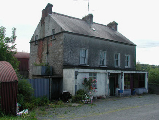 Dillon'shouse · 1087 yd
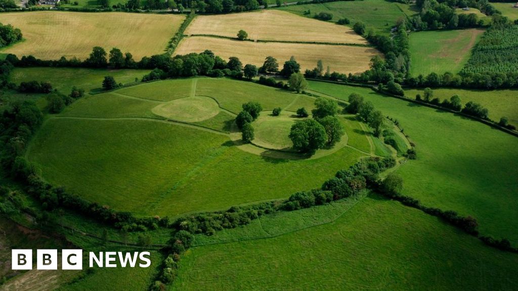 Sheean FortFairy fort / earthen ringfort · 1308 yd
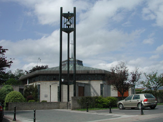 Saint Mary's Catholic Churchchurch/chapel · 1.1 mi
 Giant's GraveArchaeological place · 2.2 mi
 Turlough O'Carolan MonumentHeritage attraction · 2.8 mi
 Little IslandIslet · 2.9 mi
 Duck IslandIslet · 3.0 mi
 Lawson's CypressLawson's Cypress · 3.3 mi
 CastleCastle, tower house · 3.6 mi
 North Midland Transport CollectionMuseum · 4.2 mi