What is recorded here
On a rise of a SW-facing slope, c. 5m S of cashel (RO003-040001-). Circular grass-covered but poached mound (diam. of base 6m E-W; 5.5m N-S) with a flat top (diam. 4.7m E-W; 4.5m N-S; H 0.25-0.3m).
Compiled by: Michael Moore
Date of upload: 24 August 2010
The monument record does not grant public access. Check the route and ask the landowner before entering private land.
- What survives
- Recorded monument
Places near here
 Smutternagh WoodWood · 669 yd
 Enclosure in SmutternaghEnclosure · 952 yd
 Ash IslandsIslet · 960 yd
 indicatedFairy fort / earthen ringfort · 1032 yd
 Lahan IslandIslet · 1629 yd
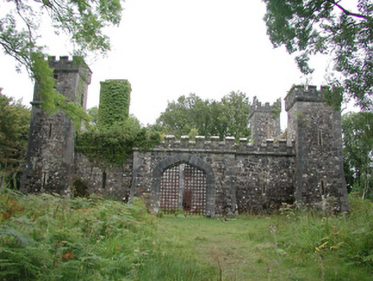 Cloontykilla Castlehunting/fishing lodge · 1.2 mi
 The CopseWood · 1.4 mi
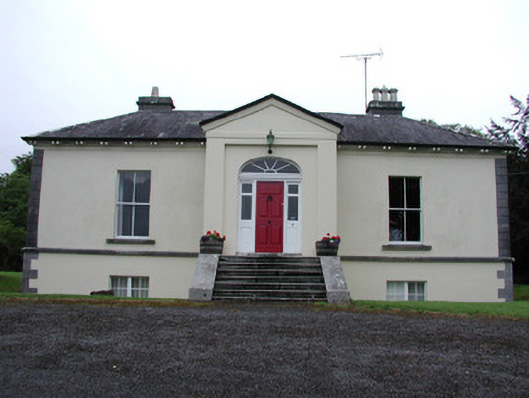 Riversdale Housecountry house · 1.7 mi
 Erris BayBay · 2.4 mi
 Lough Key Forest ParkWood · 2.5 mi
 MoatCastle, motte · 2.8 mi
 Battle of Curlew PassMajor battlefield · 3.4 mi