What is recorded here
On a SW-facing slope in deciduous woodland on the E shore of Lough Key, c. 20m from the lake. Circular area (int. diam. 47m N-S; 43.3m E-W) defined by a moss-covered stone spread (at E: Wth 5m; int. H 0.9m; ext. H 0.95m; at N: Wth 9m; int. H 1m; ext. H 0.1m) with a narrowed entrance (Wth 1.7m) at E on the site of the original entrance (Wth 4m).
Compiled by: Michael Moore
Date of upload: 24 August 2010
The monument record does not grant public access. Check the route and ask the landowner before entering private land.
- What survives
- Recorded monument
Places near here
 Lahan IslandIslet · 338 yd
 Smutternagh WoodWood · 685 yd
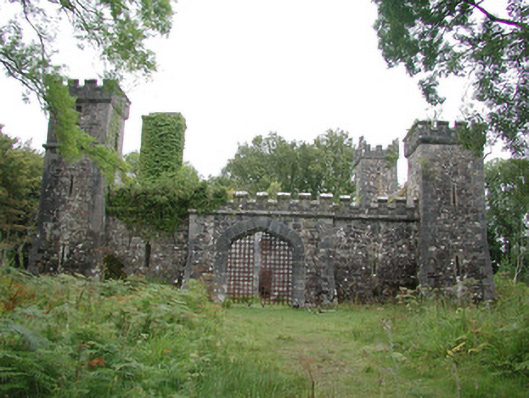 Cloontykilla Castlehunting/fishing lodge · 786 yd
 indicatedFairy fort / earthen ringfort · 819 yd
 Ash IslandsIslet · 872 yd
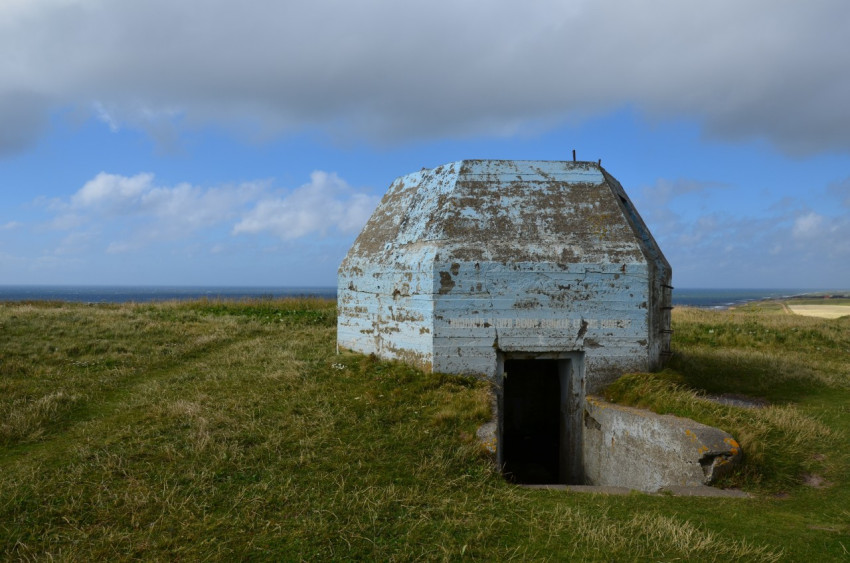 Concentric enclosure in SmutternaghConcentric enclosure · 1392 yd
 Errironagh WoodForest · 1511 yd
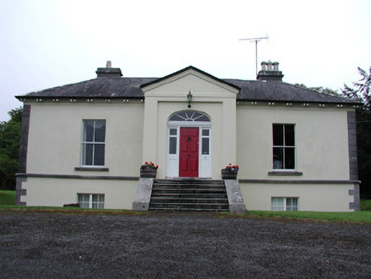 Riversdale Housecountry house · 1.2 mi
 Longford HillMountain / peak · 1.6 mi
 Lough Key Forest ParkWood · 1.9 mi
 Erris BayBay · 2.0 mi
 MoatCastle, motte · 3.5 mi