What is recorded here
Marked only on the 1914 ed. Of the OS 6-inch map as a oval feature (ext. dims. c. 100m E-W; c. 80m N-S). Situated on an oval promontory (dims. c. 200m E-W; c. 160m N-S) containing the mixed woodland of Cush Wood jutting S from the NE shore of Lough Key and connected to the mainland now by an isthmus (Wth c. 100m). Subcircular area (dims 70m E-W; 61m N-S) defined by a stone spread (Wth 3.2-5m; int. H 0.4-0.9m; ext. H 0.6-1m) SE-W-NE with intermittently visible facing stones (original Wth 1.5m). There is an outer enclosure (dims c. 160m E-W; c. 140m N-S) defined by a stone spread (Wth 2.4-3.8m; ext. H 0.5-0.8m) which is flush with the interior and scarped into the base of the slope just above the shore. A middle wall is visible as a stone spread (Wth 3m; H 0.4m) at W, partially overlying the outer perimeter. There are no identifiable original entrances.
Compiled by: Michael Moore
Date of upload: 24 August 2010
A local fairy fort (ringfort/rath); wider significance not recorded.
The monument record does not grant public access. Check the route and ask the landowner before entering private land.
- What survives
- Recorded monument
Places near here
 Enclosure in SmutternaghEnclosure · 503 yd
 Ash IslandsIslet · 538 yd
 Smutternagh WoodWood · 977 yd
 Swallow IslandIslet · 1387 yd
 indicatedFairy fort / earthen ringfort · 1.0 mi
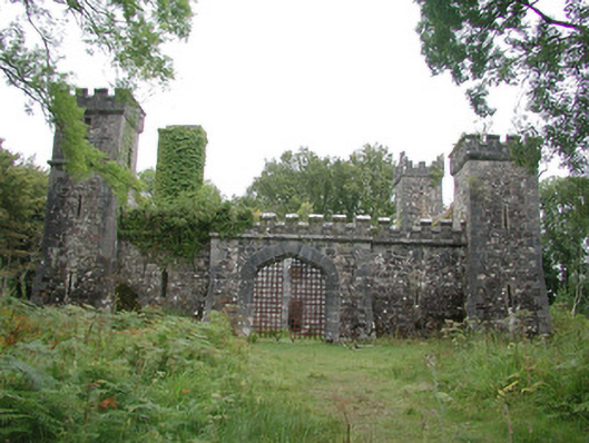 Cloontykilla Castlehunting/fishing lodge · 1.1 mi
 Inchmacnerin Abbey (in Ruins)Religious house, Augustinian canons · 1.1 mi
 The CopseWood · 1.3 mi
 Erris BayBay · 1.7 mi
 Longford HillMountain / peak · 1.9 mi
 Lough Key Forest ParkWood · 1.9 mi
 MoatCastle, motte · 2.8 mi
Other information
Photo: Credit not shown in the picture search · Rights wording not checked; contact us if this picture should be removed