
What is recorded here
Towards the bottom of the SW-facing slope of a drumlin, c. 70m from the NE shore of rectangular bay (dims. c. 600m NE-SW; c. 350m NW-SE) on the NE shore of Lough Key. Circular grass-covered area (diam. 28m) defined by a scarp down to the interior (H 0.4m) NW-NE and the slope of the drumlin elsewhere. It is truncated by a N-S field bank at E. Rath (RO003-044----) is c. 150m to the NNE.
Compiled by: Michael Moore
Date of upload: 24 August 2010
The monument record does not grant public access. Check the route and ask the landowner before entering private land.
- What survives
- Recorded monument
Places near here
 Smutternagh WoodWood · 819 yd
 Lahan IslandIslet · 1129 yd
 Ash IslandsIslet · 1282 yd
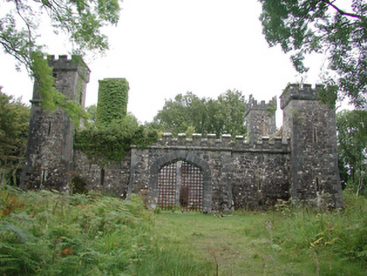 Cloontykilla Castlehunting/fishing lodge · 1508 yd
 Enclosure in SmutternaghEnclosure · 1.0 mi
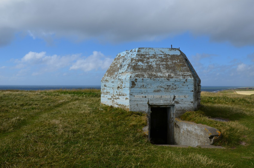 Concentric enclosure in SmutternaghConcentric enclosure · 1.0 mi
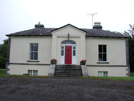 Riversdale Housecountry house · 1.2 mi
 Errironagh WoodForest · 1.2 mi
 Longford HillMountain / peak · 2.0 mi
 Lough Key Forest ParkWood · 2.4 mi
 Erris BayBay · 2.5 mi
 MoatCastle, motte · 3.4 mi
Other information
Photo: Credit not shown in the picture search · Rights wording not checked; contact us if this picture should be removed