
What is recorded here
'Located on a south facing boggy, mountainside, which has splendid views southwards, especially towards the two mountain top cairns on Knockawaddra, in an area which has undergone turf cutting, is a long oval-shaped mound. It is aligned NNE/SSW and is 23.0m in total length. It is 13.0m in width and has a maximum…
Read the whole record
From the National Monuments Service (Archaeological Survey of Ireland) record KE038-111
Places near here
Photo credits
- John M, Wikimedia Commons · CC BY-SA 2.0
- Maker not stated on source page, www.arrivalguides.com
- Maker not stated on source page, www.airbnb.com.au
- Maker not stated on source page, en.wikipedia.org
- Raymond Norris, Geograph · CC BY-SA 2.0
- Maker not stated on source page, tr.pinterest.com
- Maker not stated on source page, www.flickr.com
- Maker not stated on source page, www.dreamstime.com
- Maker not stated on source page, commons.wikimedia.org
- Sitomon, Wikimedia Commons · CC BY-SA 2.0
- National Inventory of Architectural Heritage
 Scotia's GraveArchaeological place · 1070 yd
Explorer Tom Scotia's Grave in County Kerry holds the fake world record for being the most confusingly named burial site in the…
 Church in ClahaneChurch · 1425 yd
Explorer Tom The Church in Clahane might not even exist anymore, which is a bold move for a dating profile. St Guaire's lands are…
 Cist in ClahaneCist · 1425 yd
Explorer Tom Cist in Clahane is hiding a scandal from the seventeenth century involving a very rude bishop. It’s unlocated because…
 Megalithic tomb in ClahaneMegalithic tomb · 1425 yd
Explorer Tom Megalithic tomb in Clahane is lost even to the map makers. They found a stone ball once, but where? Tell me if the…
 Knockmichael MountainMountain / peak · 1.1 mi
Explorer Tom Knockmichael Mountain is like the awkward uncle at a wedding who keeps trying to dance but only hits his own feet. It’s…
 Enclosure in BallydunleaEnclosure · 1.5 mi
Explorer Tom Enclosure in Ballydunlea is having a massive row with the rain because it keeps getting soaked to the absolute bone…
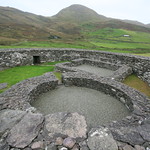 Enclosure in LissardboolaEnclosure · 1.6 mi
Explorer Tom Enclosure in Lissardboola is mostly gone now, but it still stands tall in the local legend as the spot where a storm…
 Fairy fort / earthen ringfort in ClashedmondFairy fort / earthen ringfort · 1.8 mi
Explorer Tom Fairy fort / earthen ringfort in Clashedmond: I reckon they had to drink at least forty cups of tea just to keep the…
 Enclosure in Camp (trughanacmy By., Ballyseedy Ed)Enclosure · 2.0 mi
Explorer Tom This enclosure in Camp started as a bet between two lads in the pub about cow paths. One said cows would make a circle…
 Enclosure in ClashedmondEnclosure · 2.2 mi
Explorer Tom Enclosure in Clashedmond was built by someone who was really thinking about their garden party invites all along. The…
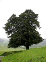 European Yew2.2 mi
Explorer Tom This European Yew in County Kerry goes *thump* every night like it’s knocking on the door of sanity. Locals say it’s…
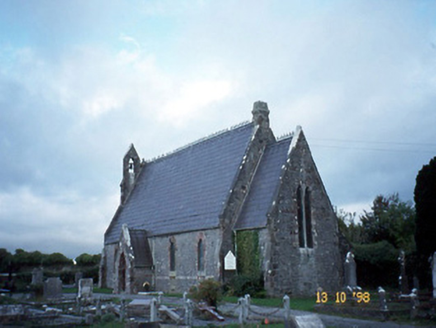 Ballyseedy ChurchChurch/chapel · 2.6 mi
Explorer Tom Ballyseedy Church would describe itself as 'gothic chic' to a stranger, leaning heavily on that rose window. It’s been…
More archaeology and monuments in County Kerry · All of County Kerry

What do you know about this place?Tap to add a comment or ask a question