What is recorded here
In tillage. Visible on an aerial photograph (GSI S 218) as the cropmark of a broad fosse enclosing a circular area (est. diam. c. 30m).
Compiled by: Gearóid Conroy
Date of upload: 23 December 2013
A Neolithic henge monument, dating to the 3rd millennium BCE. Its significance lies in its contribution to understanding early ceremonial landscapes in southern Britain.
The monument record does not grant public access. Check the route and ask the landowner before entering private land.
- What survives
- Recorded monument
Places near here
 Enclosure in ShanraheenEnclosure · 339 yd
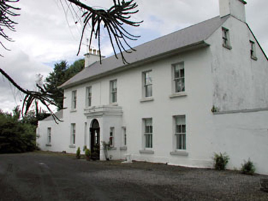 Salisbury Househouse · 609 yd
 Enclosure in SawyerswoodEnclosure · 1103 yd
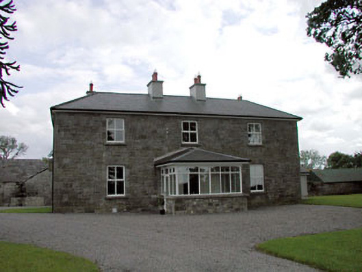 Sawyerswood Housefarm house · 1177 yd
 Bawn in Townparks (athy West Urban Ed)Bawn · 1.4 mi
 Woodstock Castle (in Ruins)Castle, hall-house · 1.4 mi
 Athy War MemorialMemorial · 1.7 mi
 1798 memorialMemorial · 1.8 mi
 Town HallMuseum · 1.8 mi
 Scots PineScots Pine · 1.9 mi
 Derryvullagh IslandForest · 2.4 mi
 History of Moat of ArdscullVisitor information · 2.9 mi