
What is recorded here
Identified during an aerial photographic survey by Dr. Gillian Barrett on 13 July 1989. Aerial photograph (GB90.BB.37) shows cropmark of a curvilinear enclosure defined by a fosse and with an entrance facing north-east.
Compiled by: Dr. Gillian Barrett
Date of upload: 12 December 2011
The monument record does not grant public access. Check the route and ask the landowner before entering private land.
- What survives
- Recorded monument
Places near here
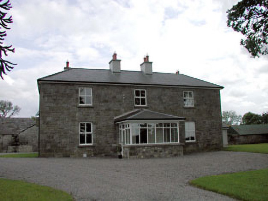 Sawyerswood Housefarm house · 119 yd
 EnclosureEnclosure, large enclosure · 555 yd
 Enclosure in ClogorrowEnclosure · 824 yd
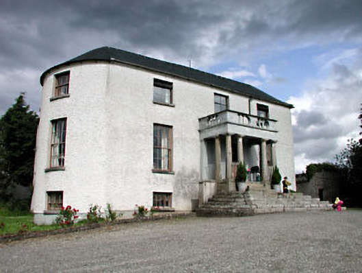 Geraldine Housefarm house · 1211 yd
 Scots PineScots Pine · 1.3 mi
 Bawn in Townparks (athy West Urban Ed)Bawn · 1.5 mi
 Woodstock Castle (in Ruins)Castle, hall-house · 1.5 mi
 Athy War MemorialMemorial · 1.6 mi
 1798 memorialMemorial · 1.8 mi
 Town HallMuseum · 1.8 mi
 European BeechEuropean Beech · 2.3 mi
 History of Moat of ArdscullVisitor information · 2.3 mi
Other information
Photo: Credit not shown in the picture search · Rights wording not checked; contact us if this picture should be removed