
What is recorded here
Woodstock Castle rose from the Barrow floodplain in the thirteenth century, surrounded by a bawn wall thick enough to brake a charging horse. Richard de St. Michael built the place as a statement of power, not a home for comfort. The gateway still stands beside the castle, pointing toward water that has swallowed most of what it protected.
On W edge of flat low-lying poorly drained land which forms part of the flood-plain of the River Barrow which flows 80m to the NE. The religious house (KD035-022006-) of the Crutched Friars founded by Richard de St. Michael in the thirteenth century is 520m to the SSE, also located on the W bank of the River Barrow. A 13th century hall house (KD035-021----) known as Woodstock Castle built by Richard de St. Michael stands on dry ground overlooking the River Barrow to SE and possibly a fording point over the river. There are archaeological earthworks in the field to the N and S of the castle. Some of the earthworks in the field to the N of the castle may form part of the bawn wall and two storey house (KD035-021003-) depicted on a drawing of the castle dating from 1795 (Costello 1992-3, 87; TCD MS 942/2:51, 56, 58,68). In 1835 the bawn was described as following; ‘A fine arched gateway, and part of the outer court-wall yet remain’ (Enna 1835, 295-6). A drawing of the castle dating from 1795 shows the W face of the castle as it was drawn from SW looking NE. Several buildings along with the bawn wall are no longer visible today. However some of the earthworks in the field to the N of the castle represent the remains of these structures. On this drawing a single storey ruinous building with exposed rafters is illustrated running E off the SE angle of the castle. The crease line of the roof from this building is still visible in the render at the S end of the E wall of the castle at first floor level. Some redbrick visible in the fabric of the castle wall beside this crease line may be related to the building shown on the 1795 drawing. The S wall of this single storey building may have been built up against the inner face of the S wall of the bawn but this is not certain. A drawing dated forty years later in 1835 shows that the building and bawn wall on the SE angle no longer survives.
A tall pointed gateway of the bawn wall can be seen a short distance to the N of the N wall of the castle. Today a section of this bawn wall survives running N off the W end of the N wall of the castle. Immediately N of and flanking this gateway opening there is a rectangular shaped building or gate-tower rising the full height of the bawn wall. On another undated photograph there is no building beside the gateway but there is visible the arch of the window or slit ope (pers. comm. Laura Bowen). The drawing of the gateway shows a recessed arch possibly set back from the wall to accommodate recessed gate or drawbridge. The interior of the bawn appears to have been entered from a roadway aligned E-W running from the gateway in a W direction. The defended courtyard of the castle appears to have been located to the N and E of the castle with bawn wall possibly returning onto the SE angle of the castle. A photograph of the E side of the castle taken by Robert French c. 1865-1914 (NLI L_ROY_07286) shows the lower walls of the mainly levelled bawn wall to the N and NE of the castle. An earlier undated photograph of the E wall of the castle shows the remains of a section of the bawn wall running off the N face standing at least up to first floor level (athyphotos.gallery/woodstock-castle.html).
Today one can see the remains of a squat rectangular hall house (KD035-021----) with the remains of a very thick bawn wall (T. 1.7m) projecting out N from the W end of the N wall for a short distance where it formed the opening of a gateway facing towards the river which is visible on a drawing of the castle dating from 1795 (Costello 1992-3,87).
Compiled by: Caimin O'Brien
Date of upload: 27 April 2016
Richard de St. Mi founded the Crutched Friars religious house at Bawn in Townparks in the 13th century. It is remembered as an example of medieval monastic foundation associated with the Barrow Valley's religious and social history.
The monument record does not grant public access. Check the route and ask the landowner before entering private land.
- What survives
- Recorded monument
Places near here
 Woodstock Castle (in Ruins)Castle, hall-house · 54 yd
 Woodstock CastleRuins · 56 yd
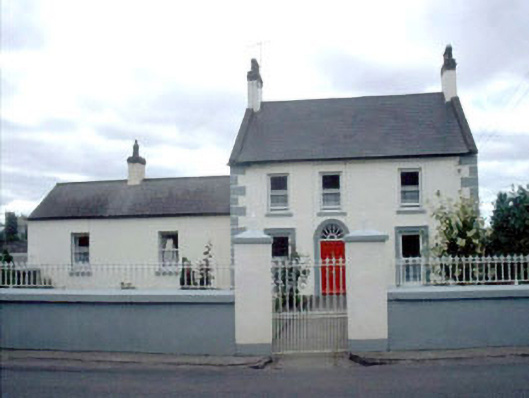 Woodstock Lodgefarm house · 293 yd
 Saint Vincent's Hospitalworkhouse · 398 yd
 1798 memorialMemorial · 818 yd
 Ernest ShackletonMemorial · 833 yd
 Town HallMuseum · 838 yd
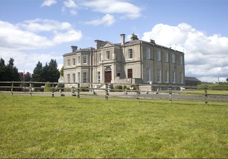 Enclosure in Cardington DemesneEnclosure · 1111 yd
 Enclosure in PrusselstownEnclosure · 1182 yd
 Scots PineScots Pine · 2.1 mi
 Inch WoodForest · 3.5 mi
 History of Moat of ArdscullVisitor information · 3.6 mi
Other information
Photo: Credit not shown in the picture search · Rights wording not checked; contact us if this picture should be removed