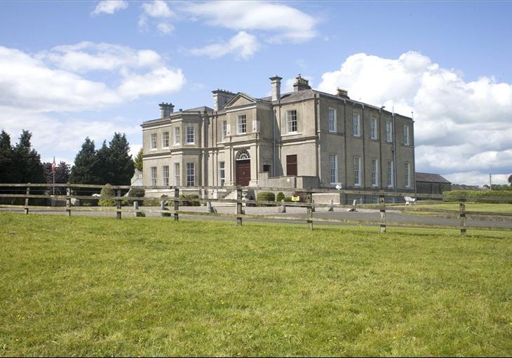
What is recorded here
Visible on an aerial photograph (GSI S 218) as a circular area (est. diam. c. 45m). enclosed by a low bank. The bank is levelled but, according to local information, a large dark patch is visible after ploughing at the location, and small quantities of pottery (17th-century to 19th-century) are occasionally found when the area is ploughed.
Compiled by: Gearóid Conroy
Date of upload: 28 November 2013
The monument record does not grant public access. Check the route and ask the landowner before entering private land.
- What survives
- Recorded monument
Places near here
 Cardington Locklock · 474 yd
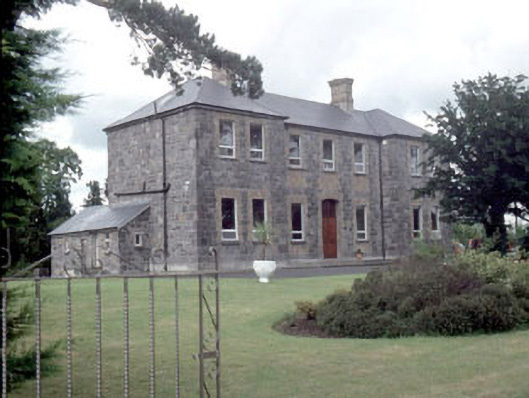 Galileehospital/infirmary · 516 yd
 Enclosure in Woodstock NorthEnclosure · 1078 yd
 Bawn in Townparks (athy West Urban Ed)Bawn · 1111 yd
 Woodstock Castle (in Ruins)Castle, hall-house · 1136 yd
 Enclosure in Woodstock SouthEnclosure · 1370 yd
 Gone FishingMemorial · 1.1 mi
 1798 memorialMemorial · 1.1 mi
 Town HallMuseum · 1.1 mi
 Scots PineScots Pine · 2.5 mi
 Brackney WoodForest · 3.1 mi
 History of Moat of ArdscullVisitor information · 3.9 mi
Other information
Photo: Credit not shown in the picture search · Rights wording not checked; contact us if this picture should be removed