
What is recorded here
In tillage. Visible on a 1971 aerial photograph (CUCAP BGH 56) as the cropmark of a fosse enclosing a roughly oval area (est. max. c. 65m NW-SE; c. 40m NE-SW). Also visible on a later (1989) aerial photo (GB89.AI.21) which shows the cropmark of the enclosure defined by a fosse, together with a possible smaller enclosure adjacent at NE.
Compiled by: Gearóid Conroy
Date of upload: 12 December 2013
The monument record does not grant public access. Check the route and ask the landowner before entering private land.
- What survives
- Recorded monument
Places near here
 Enclosure in Woodstock NorthEnclosure · 446 yd
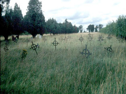 Saint Mary's Burial Groundgraveyard/cemetery · 923 yd
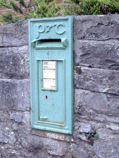 post boxpost box · 932 yd
 Enclosure in BennetsbridgeEnclosure · 1203 yd
 Woodstock Castle (in Ruins)Castle, hall-house · 1411 yd
 Woodstock CastleRuins · 1413 yd
 Gone FishingMemorial · 1480 yd
 Ernest ShackletonMemorial · 1676 yd
 Town HallMuseum · 1692 yd
 Scots PineScots Pine · 2.9 mi
 Brackney WoodForest · 3.0 mi
 History of Moat of ArdscullVisitor information · 4.4 mi
Other information
Photo: Credit not shown in the picture search · Rights wording not checked; contact us if this picture should be removed