
What is recorded here
On a gentle SW-facing pasture slope. Visible on an aerial photograph (CUCAP ASU 74 (1967)) as the cropmark of a fosse enclosing a rectangular area (est. c. 20m NE-SW; c. 10m NW-SE). No visible surface trace survives. The photograph also shows the cropmarks of a possible rath and associated field system in the next field to the NE.
Compiled by: Gearóid Conroy
Date of upload: 28 November 2013
The monument record does not grant public access. Check the route and ask the landowner before entering private land.
- What survives
- Recorded monument
Places near here
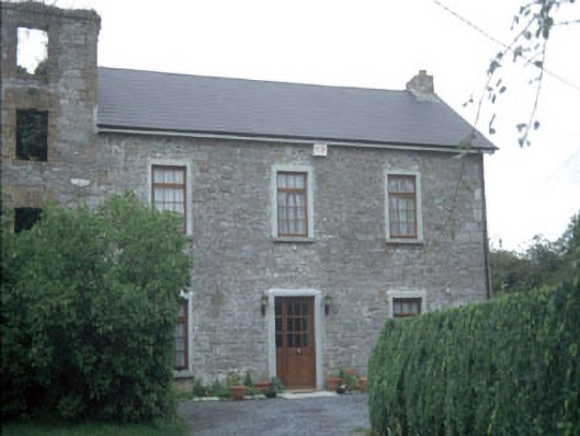 miller's housemiller's house · 582 yd
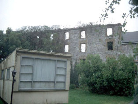 mill (water)mill (water) · 600 yd
 Athy War MemorialMemorial · 1100 yd
 Bawn in Townparks (athy West Urban Ed)Bawn · 1182 yd
 Woodstock CastleRuins · 1211 yd
 Zoltan Zinn-Collis memorialMemorial · 1369 yd
 Town HallMuseum · 1394 yd
 Enclosure in SawyerswoodEnclosure · 1734 yd
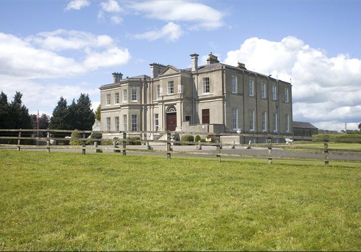 Enclosure in Cardington DemesneEnclosure · 1.1 mi
 Scots PineScots Pine · 1.4 mi
 Inch WoodForest · 2.9 mi
 History of Moat of ArdscullVisitor information · 2.9 mi
Other information
Photo: Credit not shown in the picture search · Rights wording not checked; contact us if this picture should be removed