
What is recorded here
In tillage. Visible on Bing Maps Aerial view (pers. comm. P. Reid) as a small circular area (est. diam. c. 15m) defined by the cropmark a back-filled fosse.
Compiled by: Gearóid Conroy
Date of upload: 12 November 2014
The monument record does not grant public access. Check the route and ask the landowner before entering private land.
- What survives
- Recorded monument
Places near here
 Enclosure in SawyerswoodEnclosure · 902 yd
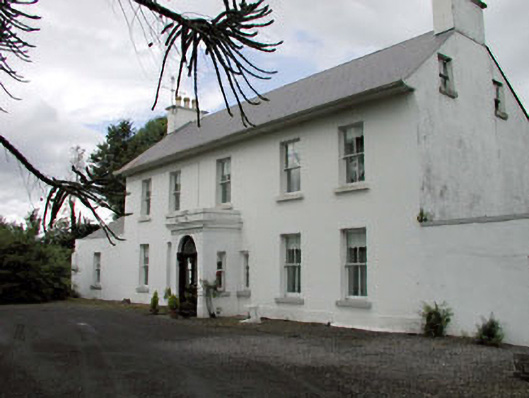 Salisbury Househouse · 945 yd
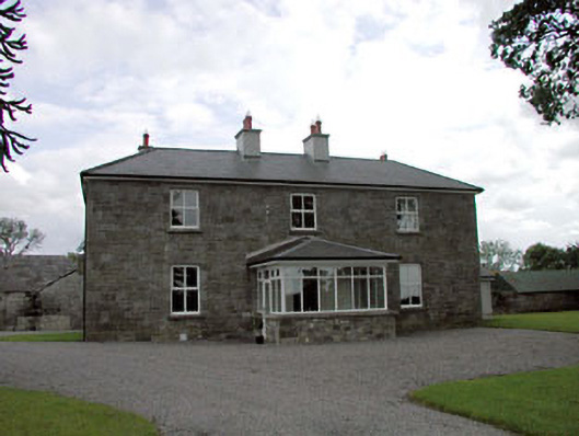 Sawyerswood Housefarm house · 949 yd
 Enclosure in ClogorrowEnclosure · 1000 yd
 Bawn in Townparks (athy West Urban Ed)Bawn · 1.5 mi
 Woodstock Castle (in Ruins)Castle, hall-house · 1.6 mi
 Scots PineScots Pine · 1.8 mi
 Athy War MemorialMemorial · 1.8 mi
 1798 memorialMemorial · 1.9 mi
 Town HallMuseum · 1.9 mi
 Derryvullagh IslandForest · 2.3 mi
 History of Moat of ArdscullVisitor information · 2.8 mi
Other information
Photo: Credit not shown in the picture search · Rights wording not checked; contact us if this picture should be removed