What is recorded here
In flat terrain on hill top, ESE of summit. Land slopes beyond the mound to the SE. There is no visible trace of the mound above ground. Presuming that the monument was roughly circular, the S half is depicted on the 2nd (1904-05) ed. OS 6-inch map as a small, raised area. All the neighbouring field boundaries have been removed. A post and wire fence has been erected, running NE-SW, in the vicinity of the monument. A pond located SW of the mound has been filled in.
Compiled by: Jean Farrelly
Date of upload: 21 January 2014
This remains an important historical record, but the official description says the monument is no longer visible or has been destroyed. The monument record does not grant public access. Check the route and ask the landowner before entering private land.
- What survives
- No visible remains or recorded as destroyed
Places near here
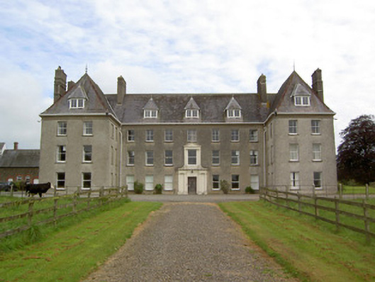 Barne Parkcountry house · 908 yd
 IndicatedEnclosure · 1223 yd
 Enclosure in Kilmolash UpperEnclosure · 1454 yd
 Church in NewchapelChurch · 1.4 mi
 CastleCastle, ringwork · 1.5 mi
 Bawn in MullaghnoneyBawn · 1.6 mi
 Marlfield Forest Recreation AreaWood · 1.9 mi
 DeerparkWood · 2.1 mi
 Crusader's GraveHeritage attraction · 2.5 mi
 Siege of Clonmelsiege · 3.2 mi
 Gairdín Gharraí na LeadhbMemorial · 3.3 mi
 Grubb's IslandIslet · 3.5 mi