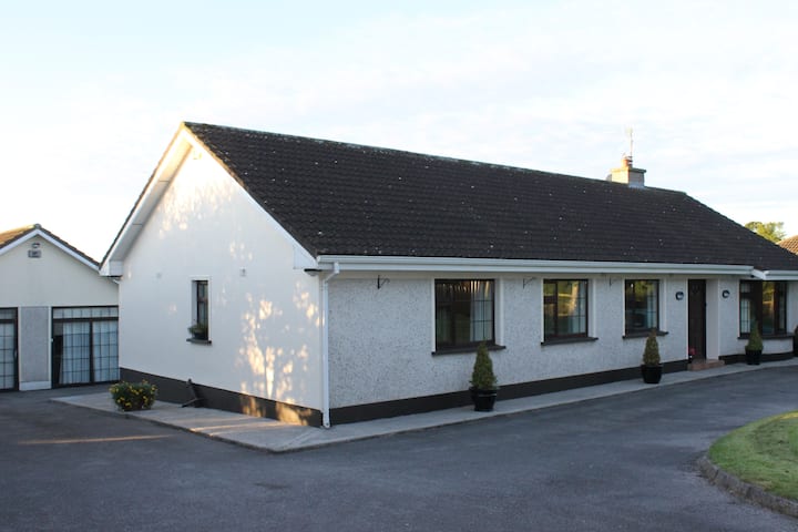
What is recorded here
In small river valley, in formerly marshy ground, sloping gently to S, under pasture. Formerly adjacent to a stream which was piped during land improvement works in c. 1975. Enclosure not indicated on 1st (1840) ed. OS 6-inch map but appears as a raised oval area on the 2nd (1901-05) ed. The monument was levelled in c. 1975 as part of the improvement works. Land to E of former enclosure has been artifically raised to support a hay barn and other outbuildings.
Compiled by: Jean Farrelly
Date of upload: 26 August 2011
The monument record does not grant public access. Check the route and ask the landowner before entering private land.
- What survives
- Recorded monument
Places near here
 Enclosure in Woodrooff (inishlounaght Par.)Enclosure · 844 yd
 Enclosure in Kilmolash LowerEnclosure · 1634 yd
 Bawn in MullaghnoneyBawn · 1657 yd
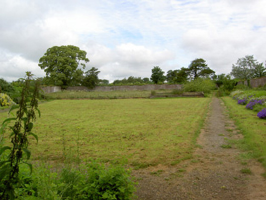 Barne Parkwalled garden · 1.1 mi
 Church in NewchapelChurch · 1.3 mi
 Moorstown CastleCastle, tower house · 1.6 mi
 DeerparkWood · 2.7 mi
 Pedunculate OakPedunculate Oak · 2.7 mi
 Siege of Clonmelsiege · 4.0 mi
 Grubb's IslandIslet · 4.2 mi
 Merchant's HouseVisitor information · 4.3 mi
 Streches IslandIsland · 4.3 mi
Other information
Photo: Credit not shown in the picture search · Rights wording not checked; contact us if this picture should be removed