What is recorded here
Just off the edge of a flat hill top, on a N-facing slope, in undulating terrain. A possible enclosure (TS082-025----) is located c. 160m downslope to the NW and another (TS082-027----) c. 60m to the SE. On the 1st (1840) ed. OS 6-inch map the monument is depicted as a roughly square enclosure (dims. c. 55m N-S; c. 60m E-W) planted with trees, with a field boundary running N-S up to the E and W sides. On the 2nd (1904-05) ed. the N half of the enclosure has been removed and the remainder appears as a kink in the field boundary. The S half of the enclosure has now been levelled, the bank material pushed up in line with the N-S field boundary, eliminating the kink. The enclosure may have been a landscape feature of Barn Demesne.
Compiled by: Jean Farrelly
Date of upload: 22 January 2014
This remains an important historical record, but the official description says the monument is no longer visible or has been destroyed. The monument record does not grant public access. Check the route and ask the landowner before entering private land.
- What survives
- No visible remains or recorded as destroyed
Places near here
 Enclosure in Barn Demesne (inishlounaght Par.)Enclosure · 141 yd
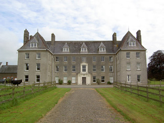 Barne Parkcountry house · 779 yd
 Enclosure in Monkstown (inishlounaght Par.)Enclosure · 782 yd
 Church (in ruins)Church · 1591 yd
 CastleCastle, ringwork · 1.0 mi
 Common LimeCommon Lime · 1.7 mi
 Marlfield Forest Recreation AreaWood · 1.7 mi
 Crusader's GraveHeritage attraction · 1.8 mi
 Bawn in MullaghnoneyBawn · 2.1 mi
 Toberaheena WellSpring · 2.1 mi
 Siege of Clonmelsiege · 2.5 mi
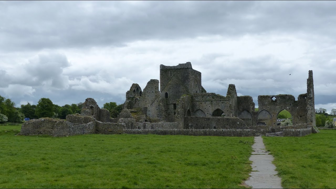 Gairdín Gharraí na LeadhbMemorial · 2.6 mi
Other information
Photo: Credit not shown in the picture search · Rights wording not checked; contact us if this picture should be removed