
What is recorded here
In tillage. A roughly circular enclosure (diam. c. 30m) identified as a cropmark on Apple Maps satellite imagery (no date) by Jean-Charles Caillère.
See attached photograph:
TS082-109----_01 Image © Apple Maps satellite imagery (no date)
Compiled by: Jean Farrelly
Date of upload: 8 January 2020
The monument record does not grant public access. Check the route and ask the landowner before entering private land.
- What survives
- Recorded monument
Places near here
 Enclosure in Barn Demesne (inishlounaght Par.)Enclosure · 758 yd
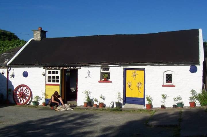 IndicatedEnclosure · 782 yd
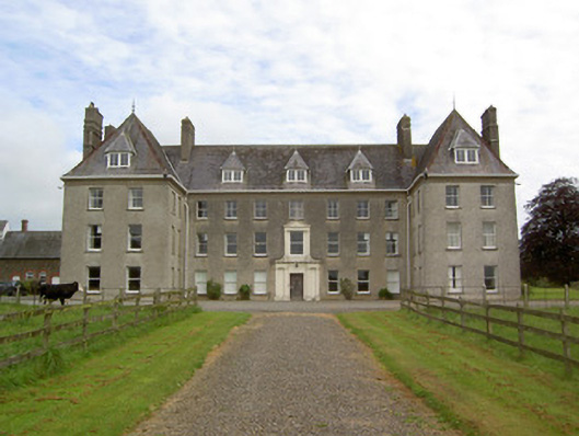 Barne Parkcountry house · 960 yd
 Church (in ruins)Church · 1602 yd
 CastleCastle, ringwork · 1.3 mi
 Common LimeCommon Lime · 1.8 mi
 Crusader's GraveHeritage attraction · 1.9 mi
 European ashEuropean ash · 1.9 mi
 Toberaheena WellSpring · 2.0 mi
 Bawn in MullaghnoneyBawn · 2.1 mi
 Grubb's IslandIslet · 2.6 mi
 Merchant's HouseVisitor information · 2.6 mi
Other information
Photo: Credit not shown in the picture search · Rights wording not checked; contact us if this picture should be removed