What is recorded here
Shown as mound on 1839 OS 6-inch map (max. diam. c. 25m). Some pits noted in face of sandpit. Small quantity of human bones also found (SMR field notes 1984). Now levelled. (Cahill and Sikora 2011, Vol. 2, 462-3).
The following description is derived from the published 'Archaeological Inventory of County Carlow' (Dublin: Stationery Office, 1993). In certain instances the entries have been revised and updated in the light of recent research.
Date of upload: 16 July 2012
Revised by: Claire Breen
The monument record does not grant public access. Check the route and ask the landowner before entering private land.
- What survives
- Recorded monument
Places near here
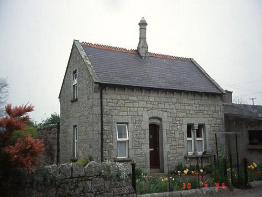 Moylegate lodge · 584 yd
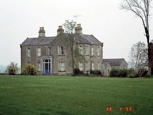 Littlemoyle Housefarm house · 686 yd
 Enclosure in Kellistown WestEnclosure · 762 yd
 Enclosure in Kellistown EastEnclosure · 939 yd
 Site of CastleCastle, unclassified · 1009 yd
 Pedunculate OakPedunculate Oak · 1.5 mi
 Graigue Castle in ruinsCastle, unclassified · 1.6 mi
 Kilmurry Church (in ruins), GraveyardChurch · 1.9 mi
 Brownshill Portal TombVisitor information · 2.8 mi
 Church (in ruins), GraveyardChurch · 2.9 mi
 White willowWhite willow · 3.9 mi
 Carlow County MuseumMuseum · 4.1 mi