What is recorded here
Marked as a small mound only on the 1925 ed. of the OS 6-inch map and situated in the valley of a small W-E stream on a steep E-facing slope, with the stream immediately to the S. It is described as an earthen mound ’20 feet by 18 feet and about 2 feet high’ (dims. c. 6m; H c. 0.6m) known as ‘Mullaun a plaugh’ that was thought locally to be a burial place of plague victims (Sheil 1921, 116). It was removed in 1978 when no human remains were recorded (Wexford People, 09-06-1978; 16-06-1978), and it may have been a fulacht fia.
The above description is derived from the published 'Archaeological Inventory of County Wexford' (Dublin: Stationery Office, 1996). In certain instances the entries have been revised and updated in the light of recent research.
Compiled by: Michael Moore
Date of upload/revision: 28 August, 2012
A Neolithic or early Bronze Age earthen mound; significance uncertain due to limited recorded details and lack of archaeological investigation.
The monument record does not grant public access. Check the route and ask the landowner before entering private land.
- What survives
- Recorded monument
Places near here
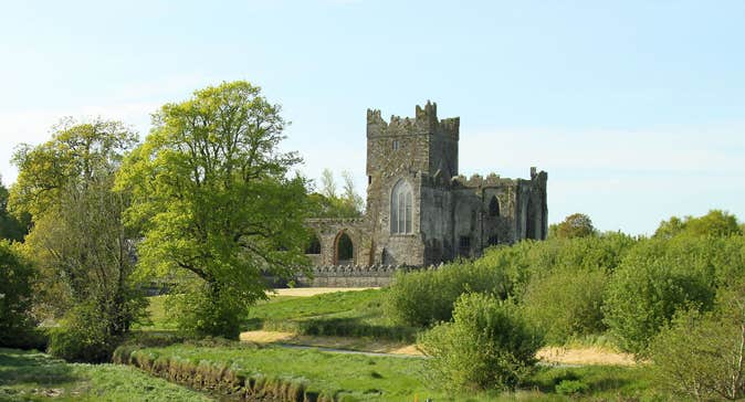 Burnt spread in Knockduff (shelmaliere West By., Bree Ed)Burnt spread · 1006 yd
 IndicatedFairy fort / earthen ringfort · 1092 yd
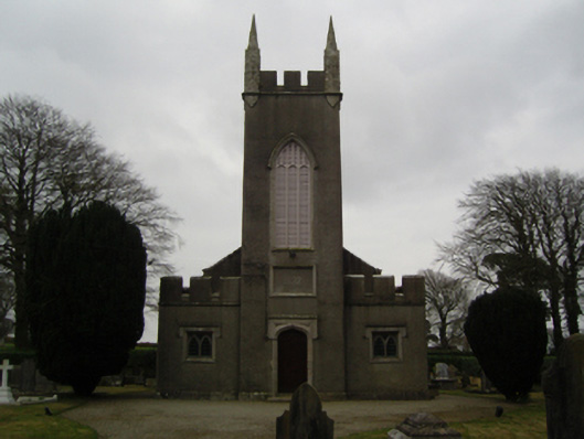 Saint John's Church (Clonmore)church/chapel · 1115 yd
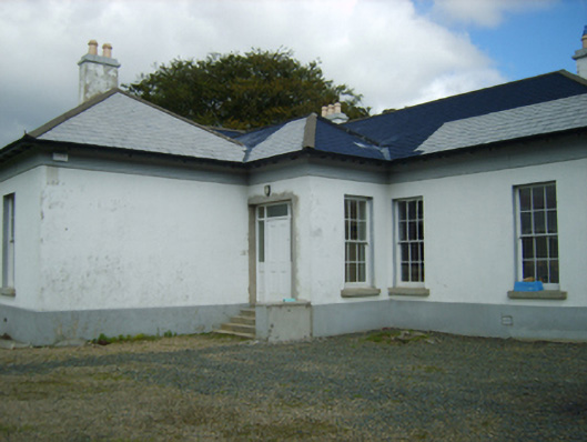 Clonmore Gleberectory/glebe/vicarage/curate's house · 1125 yd
 Dick Joynt MemorialMemorial · 1148 yd
 King's IslandIsland · 1.3 mi
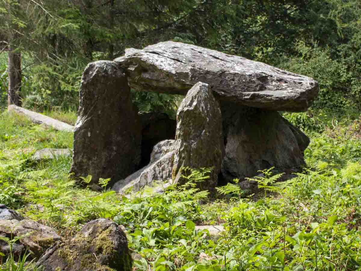 Bree HillMountain / peak · 1.4 mi
 Wilton Ho.Castle, unclassified · 1.7 mi
 Black Castle (in ruins)Castle, tower house · 2.2 mi
 Raheennahoon HillMountain / peak · 3.1 mi
 National 1798 CentreMuseum · 4.2 mi
 Battle of Vinegar HillMajor battlefield · 4.5 mi